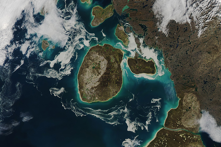
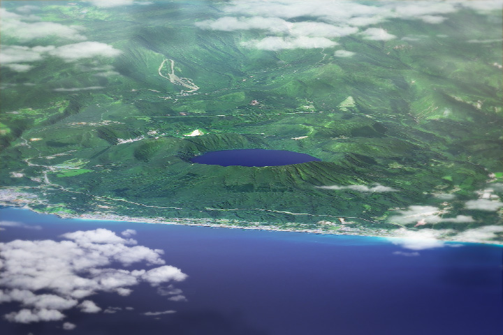
The Earth Observatory has published its last Image of the Day on this website. Please join us on our new home at science.nasa.gov/earth/earth-observatory.
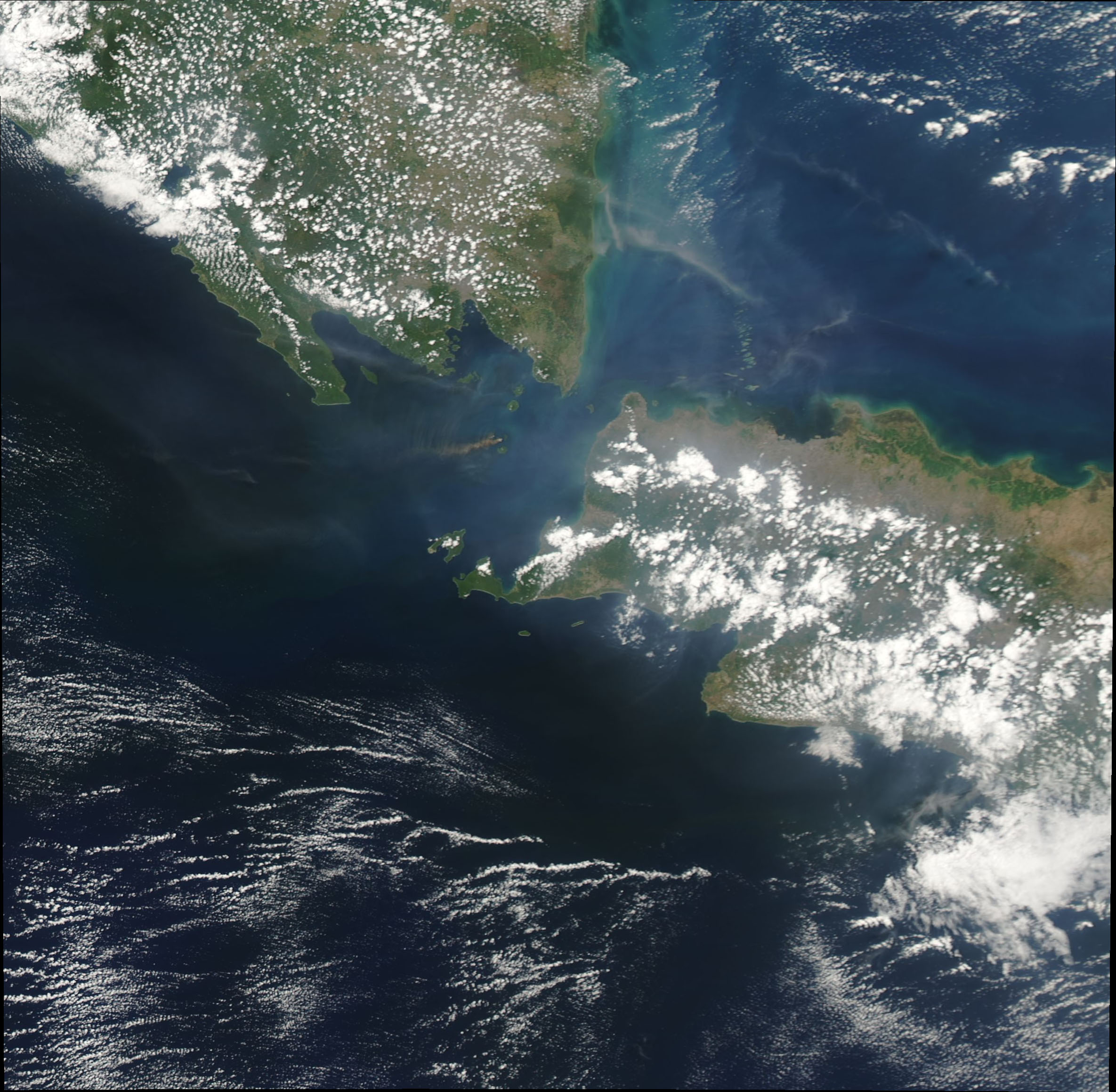
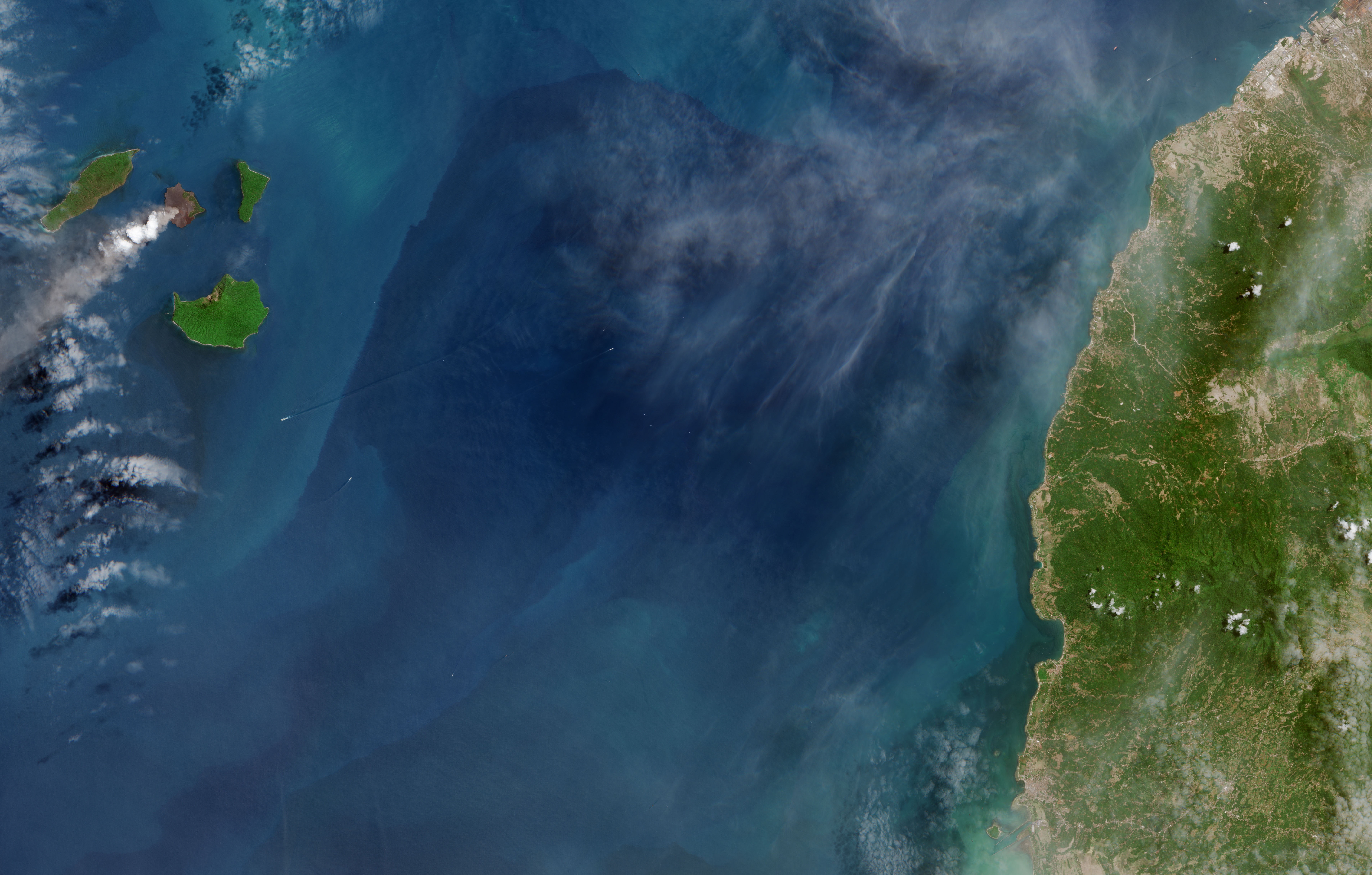
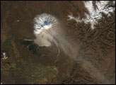
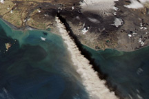
Activity at the Indonesian volcano Anak Krakatau is not unusual; eruptions have occurred sporadically over the past few decades. And before that, it was the site of the infamous, deadly eruption of 1883. It is somewhat unusual, however, for satellites to get cloud-free views, as they did in September 2018.
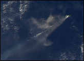
The Moderate Resolution Imaging Spectroradiometer (MODIS) on NASA’s Aqua satellite acquired the wide view (top) on September 24. The MultiSpectral Instrument (MSI) on the European Space Agency’s Sentinel-2 acquired the detailed image (second) on September 22. Both images show volcanic ash and steam streaming southwest over the waters of the Sunda Strait.
Local sources reported that this eruption has been ongoing since June 19, 2018. Ash plumes have been observed rising to altitudes up to 1.8 kilometers (6,000 feet). As of September 24, the eruption had not yet affected air travel in southeast Asia, according to news reports. The local alert status remained at “caution,” which is the second-highest level.
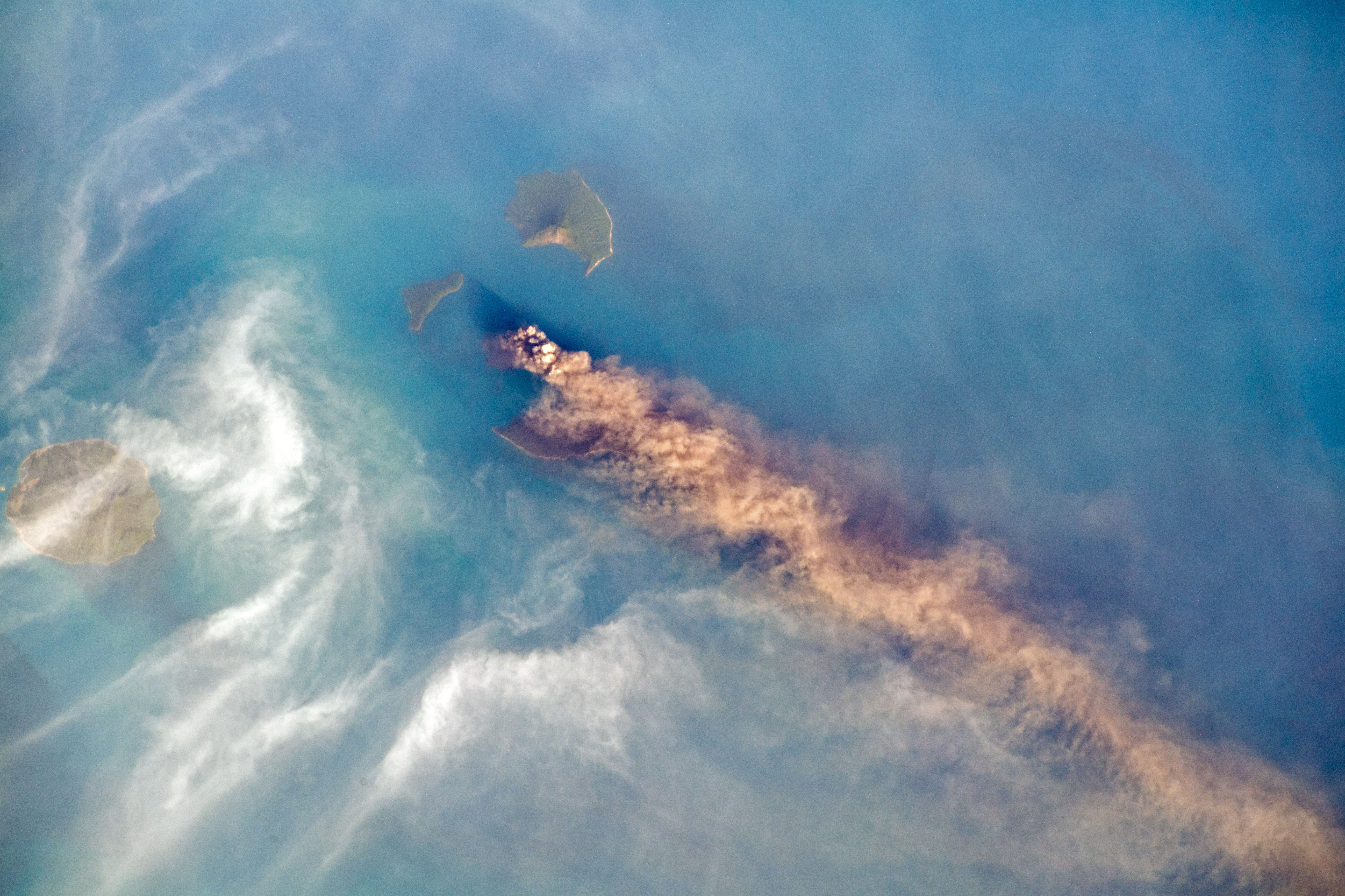
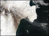
The plume was also visible from the International Space Station. European Space Agency astronaut Alexander Gerst snapped this photograph of the plume on September 24. You can view more of his photographs on flickr and Instagram.
NASA Earth Observatory images by Joshua Stevens, using MODIS data from NASA EOSDIS/LANCE and GIBS/Worldview and modified Copernicus Sentinel data (2018) processed by the European Space Agency. ISS Photograph by Alex Gerst, European Space Agency/NASA. Story by Kathryn Hansen.