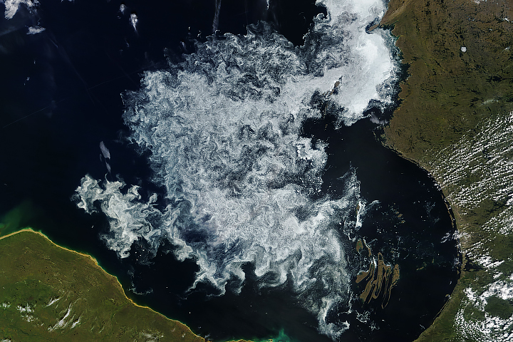
The Earth Observatory has published its last Image of the Day on this website. Please join us on our new home at science.nasa.gov/earth/earth-observatory.
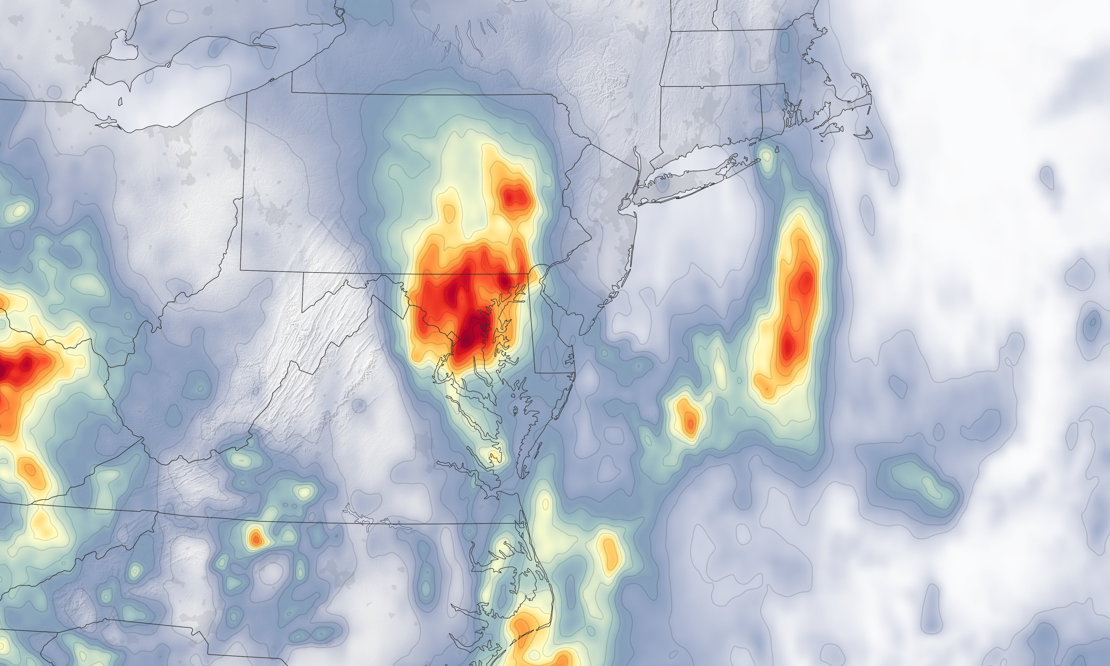
After a dry start to July, several days of heavy rain pounded the Mid-Atlantic United States in the latter part of the month. The record-breaking rain triggered flash floods, closed roads, opened up sinkholes, and prompted several water rescues.
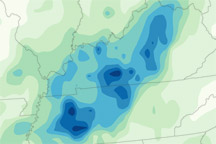
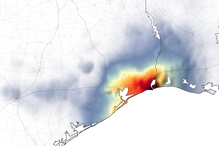
This map shows rainfall accumulation over the region between July 20 and July 23, 2018. These rainfall data are remotely-sensed estimates that come from the Integrated Multi-Satellite Retrievals (IMERG), a product of the Global Precipitation Measurement (GPM) mission. The GPM satellite is the core of a rainfall observatory that includes measurements from NASA, the Japan Aerospace Exploration Agency, and five other national and international partners. Local rainfall amounts can be significantly higher when measured from the ground.
A sharp southward dip in the jet stream set the region up for the deluge by channeling a river of moist, tropical air from the Caribbean up the Eastern Seaboard. The pattern is not expected to break for a few more days, and forecasters anticipate that several more inches will fall. With already saturated soils and swollen rivers, this could lead to significant flooding.
“A potentially dangerous, even life threatening, situation is setting up for much of the Mid-Atlantic,” the National Weather Service tweeted on July 23. “After a weekend of 2-7+ inches of rain for much of the Mid-Atlantic, an additional 3-5+ inches of rain is expected over the next three days.”
NASA Earth Observatory image by Joshua Stevens, using IMERG data from the Global Precipitation Mission (GPM) at NASA/GSFC. Story by Adam Voiland.