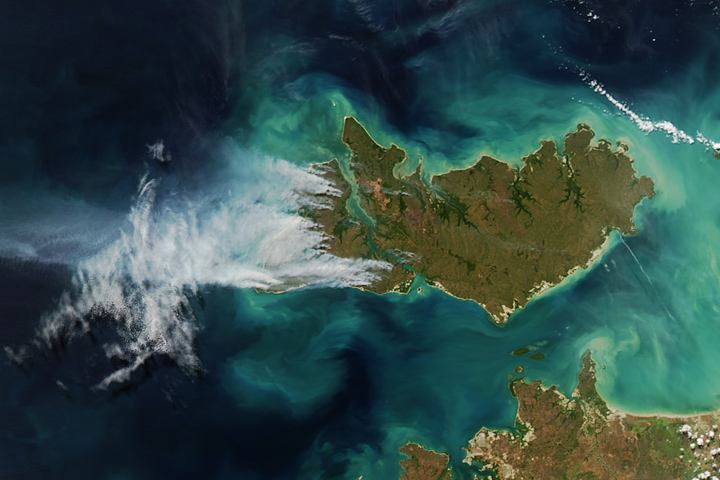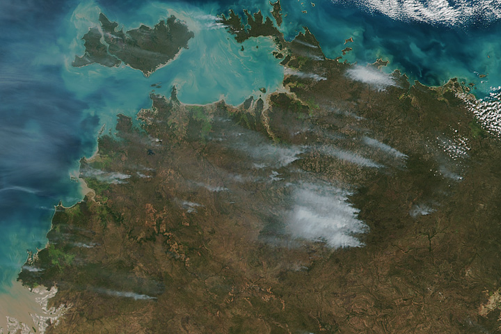

Several fires burned in the Top End region of Australia’s Northern Territory on June 15, 2017, when the Visible Infrared Imaging Radiometer Suite (VIIRS) on the Suomi NPP satellite collected this image. The red outlines are areas where the satellite detected heat signatures indicative of active burning.
Fires in the grasslands of Northern Territory are usually relatively small in June, the beginning of the dry season. However, the wildfires were particularly active in June 2017 partly because hunters have deliberately set some of the fires, according to news reports.
NASA image by Jeff Schmaltz, LANCE/EOSDIS Rapid Response. Caption by Adam Voiland.
The Top End region of Australia faced a busy start to the bushfire season in 2017.
The Top End region of Australia faced a busy start to the bushfire season in 2017.

