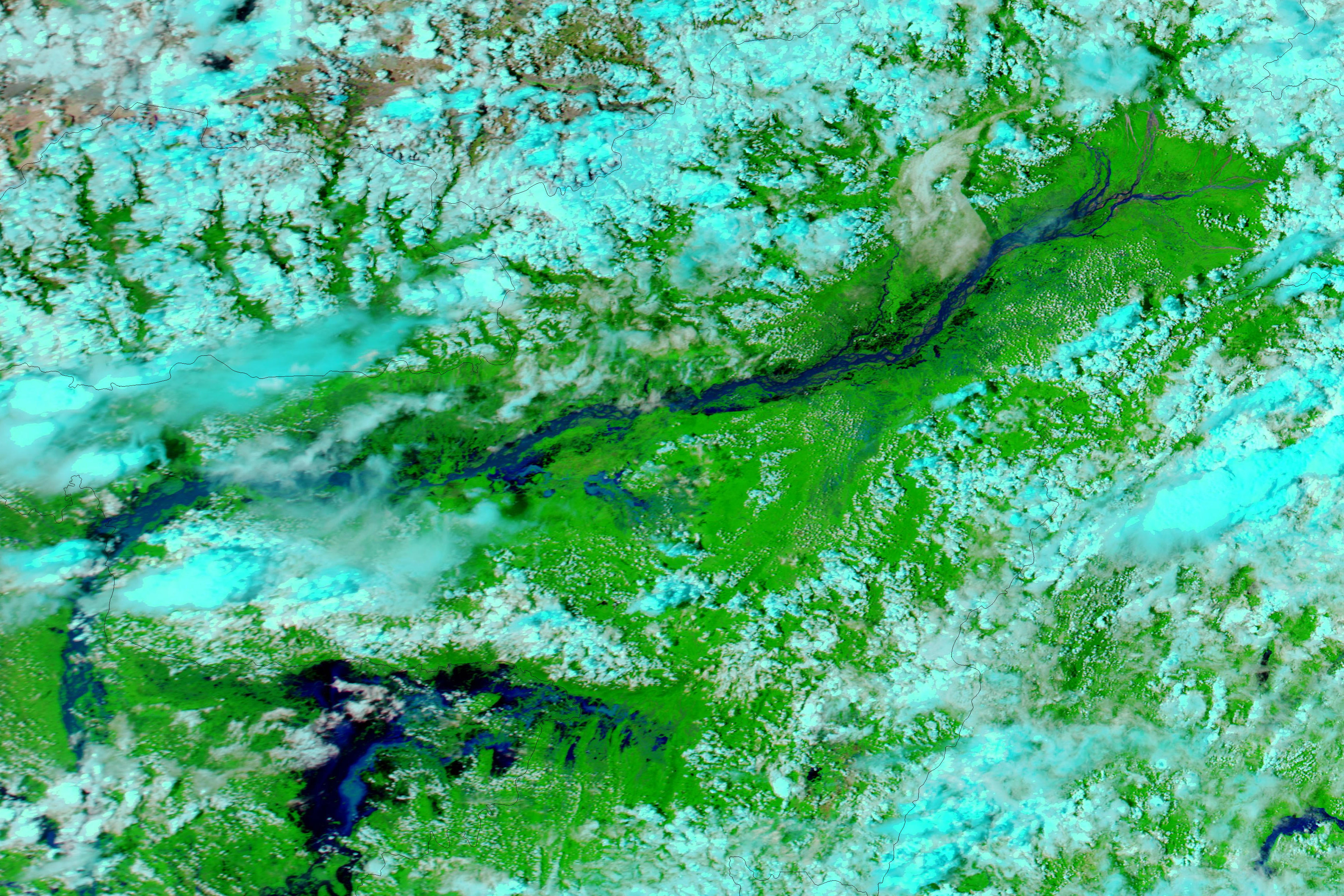
Floods and landslides caused dozens of casualties in northeastern India in late June and early July 2012. By July 1, the death toll stood at 77, The Hindu reported. As of that date, the Brahmaputra River and its tributaries had breached more than 40 levees. Reuters India reported that thousands of homes, mostly made of bamboo and straw, had washed away in days of torrential rains. The floods also breached roads and bridges, and downed power lines.
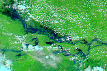
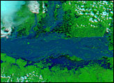
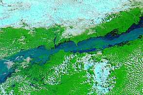
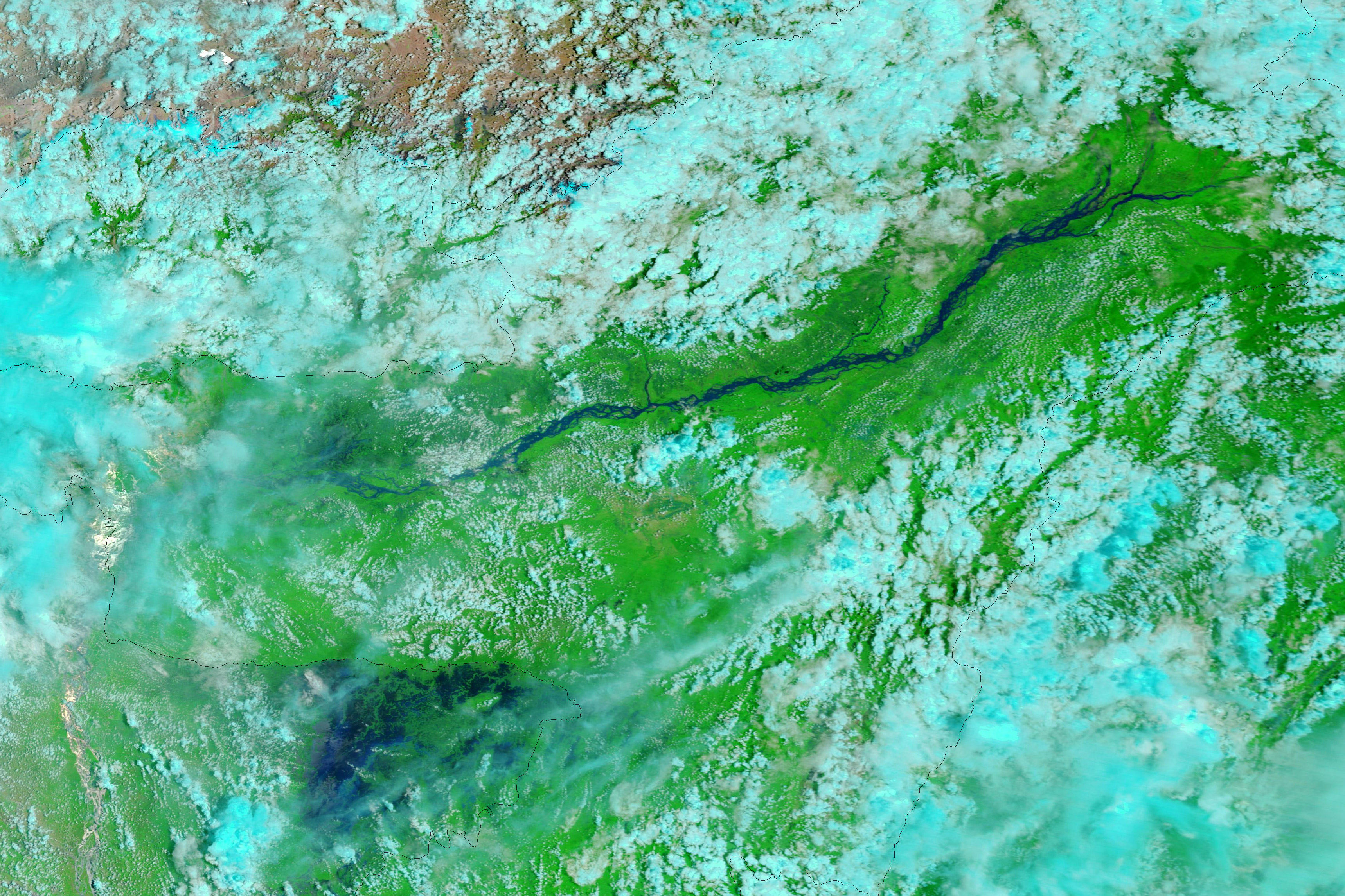
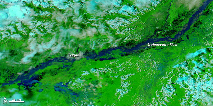
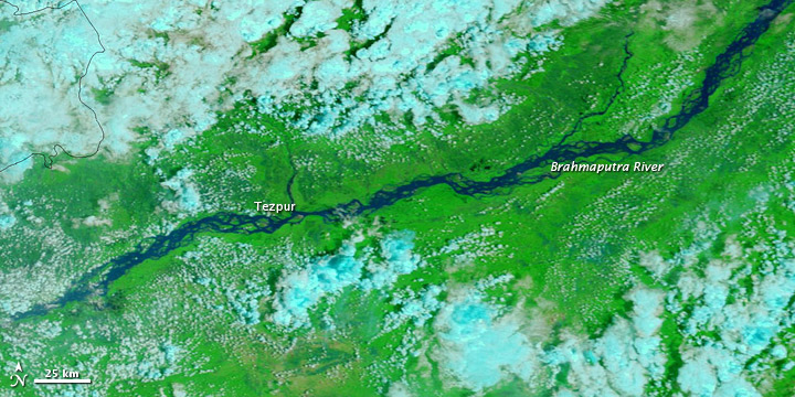
The Moderate Resolution Imaging Spectroradiometer (MODIS) on NASA’s Aqua satellite captured the top image on July 2, 2012. For comparison, the bottom image shows the same area, observed by MODIS on NASA’s Terra satellite, just two weeks earlier. These images use a combination of visible and infrared light to better distinguish between water and land. Water varies from electric blue to navy, vegetation is bright green, and clouds are pale blue-green.
By July 2, 2012, the Brahmaputra River had spilled over its banks throughout the region pictured here. Water pooled on floodplains north and south of the river, with especially extensive areas of flood water south of Tezpur.
Reuters India reported that, while the Indian state of Assam coped with severe floods, other parts of the country experienced monsoon rains that were lower than average, and the dry conditions jeopardized some crops.
NASA image courtesy LANCE MODIS Rapid Response Team at NASA GSFC. Caption by Michon Scott.