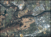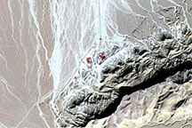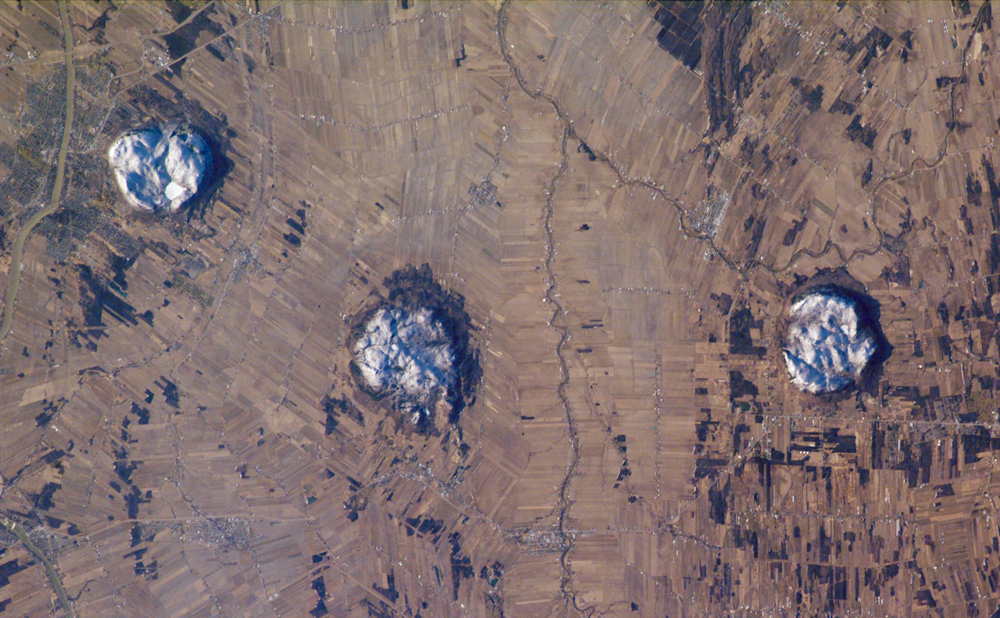
This astronaut photograph of the area to the east of Montreal, Canada, captures two striking patterns. The circular features are the central members of a group of unusual rock formations known as the Monteregian Hills: Mont St. Hilaire, Rougemont, and Mont Yamaska. The rectangular pattern blanketing the landscape in the background reveals the intensive agriculture in the fertile lowlands in southern Quebec.
The Monteregian Hills are an isolated series of roughly east-west trending plutons, masses of igneous (formed from magma) rock that crystallized below the land surface. The magmas that form the Hills intruded into pre-existing sedimentary rocks roughly 125 to 123 million years ago, during the Cretaceous Era. Over time, the sedimentary rock has eroded away, leaving the more resistant igneous rock of the plutons exposed as the Monteregian Hills, standing over the surrounding, flat St. Lawrence Plains.
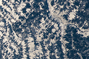
Snow cover on the three mountains provides contrast with surrounding fallow agricultural fields, which are shades of brown and tan. A bright white circle nestled on top of Mont St. Hillaire is snow-covered Lac Hertel (Hertel Lake). In addition to their interesting geology, the Monteregian Hills also serve as important woodland habitat “islands” in the greater Montreal urban area. Several small town and cities are visible in the image, appearing as purplish-gray patches. The largest in the scene is the city of Beloeil, straddling the Richelieu River west of Mont St. Hillaire.
The featured astronaut photograph, ISS014-E-19807, was acquired April 18, 2007, with a Kodak 760C digital camera using an 180 mm lens, and is provided by the ISS Crew Earth Observations experiment and the Image Science & Analysis Laboratory, Johnson Space Center. The image in this article has been cropped and enhanced to improve contrast. The International Space Station Program supports the laboratory to help astronauts take pictures of Earth that will be of the greatest value to scientists and the public, and to make those images freely available on the Internet. Additional images taken by astronauts and cosmonauts can be viewed at the NASA/JSC Gateway to Astronaut Photography of Earth.