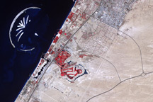
The Earth Observatory has published its last Image of the Day on this website. Please join us on our new home at science.nasa.gov/earth/earth-observatory.

The Kalahari Desert rests inside the larger Kalahari Basin in sub-Saharan Africa. The Kalahari covers most of Botswana, and parts of Namibia, Angola, Zambia, and South Africa. August is the height of the dry season, when scorching sunlight paired with little or no rain parches the vegetation, and winds stir dust storms. But the Kalahari Basin possesses an oasis that flourishes in the midst of the local dry season: the Okavango Delta.
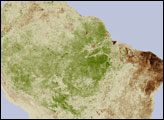
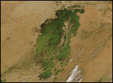
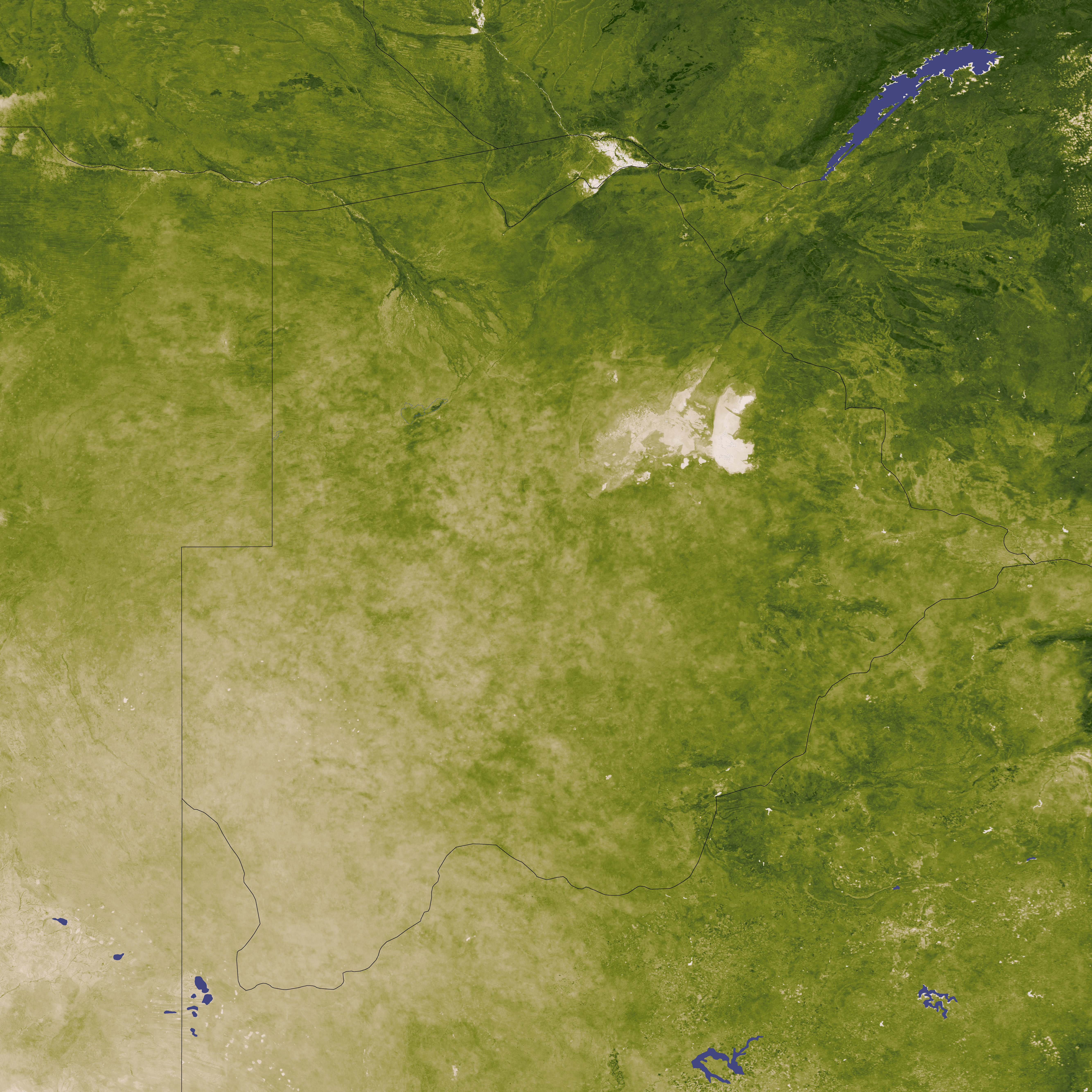
These maps show the dramatic change in vegetation “greenness” between the wet season (top) and the dry season (bottom). The greatest plant activity appears deep green while the least plant activity appears beige. The maps are based on data from the Moderate Resolution Imaging Spectroradiometer (MODIS) on NASA’s Terra satellite.
MODIS captured the top image on April 19, 2009, not long after the end of the rainy season. In this image, green hues predominate throughout the region. MODIS captured the bottom image on August 6, 2008, during the dry season. Most of this image appears pale green or beige—an indication of the reduced plant activity during the dry season. Plants seem especially listless in the south, part of the Kalahari Desert.
When temperatures soar, vegetation withers, and familiar drinking holes dry up, many animals must move elsewhere to find adequate food and water. This is especially true of Kalahari elephants. Capable of consuming 200 liters (52 gallons) of water, and 140 kilograms (300 pounds) of vegetation in a single day, Kalahari elephants often migrate during the dry season, when the parched local landscape can no longer support their needs. What saves these animals is an oasis.
The Okavango Delta—the deep green branching feature in northern Botswana—is just such an oasis. During the dry season, this inland delta becomes a crucial source of drinking water for the region’s wildlife. The Okavango Delta actually flourishes more during the local dry season than it does during or shortly after the summer wet season. The delta is fed by headwaters in the Angolan Highlands, far to the delta’s northwest. The waters travel meandering waterways with extremely shallow gradients. As a result, floodwaters from the Angolan wet season take several months to reach the delta, and it becomes a watery respite from the surrounding desert just when wildlife most needs something to drink. Matriarch elephants can remember the location of this delta and lead herds there even after years without visiting it.
The Okavango Delta consists of permanent swampland, but the arrival of annual floodwaters covers an even larger area. The waters extend the delta’s usual area from 5,000 square kilometers (2,000 thousand square miles) to anywhere from 6,000 to 12,000 square kilometers (2,300 to 4,600 square miles).
NASA image created by Jesse Allen, using data obtained from the Goddard Level 1 and Atmospheric Archive and Distribution System (LAADS). Caption by Michon Scott.