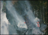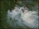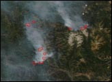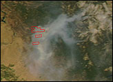

The first major wildfires of the season in California got underway in the first week of summer 2008 when thunderstorms brought lightning but little rain to drought-stricken forests and chaparral in the state. The fires continued to rage in early July. This natural-color image was captured by the Moderate Resolution Imaging Spectroradiometer (MODIS) on NASA’s Aqua satellite on July 2, 2008, and it shows the location of actively burning fires marked in red. The highest concentration of fires is in Northern California, where the National Interagency Fire Center reported that 68 uncontained large fires were burning as of July 3. Meanwhile, Southern California was battling the state’s two largest blazes: the Indians Fire and the Basin Complex Fire, which is the largest fire in the lower half of this image.
The high-resolution image provided above is at MODIS’ maximum spatial resolution (level of detail) of 250 meters per pixel. The MODIS Rapid Response Team provides the image in additional resolutions.
NASA image created by Jesse Allen, using data provided courtesy of the MODIS Rapid Response team.
“Dry†thunderstorms triggered hundreds of fires in California on the first day of summer 2008. In Northern California, fires continued to burn in August.


