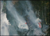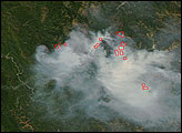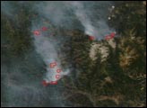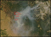

Skies in the north were mostly cloudy when NASA’s Aqua satellite passed over California on June 30, 2008, but the Moderate Resolution Imaging Spectroradiometer (MODIS) sensor was able to get this cloud-free shot of Southern California showing fires burning south of Monterey. Places where the sensor detected actively burning fires are outlined in red. Smoke spreads north up the coast. The two fires pictured are among the largest of scores of fires burning in the state. According to the July 1 report from the National Interagency Fire Center, the Indians Fire was 81,378 acres and 95 percent contained; the Basin Complex Fire was 39,906 acres and 3 percent contained.
The high-resolution image provided above is at MODIS’ maximum spatial resolution (level of detail) of 250 meters per pixel. The MODIS Rapid Response Team provides twice-daily images of Northern and Southern California in additional resolutions and formats, including an infrared-enhanced version that highlights the presence of burned ground.
NASA image provided by the MODIS Rapid Response Team. Caption by Rebecca Lindsey.
“Dry†thunderstorms triggered hundreds of fires in California on the first day of summer 2008. In Northern California, fires continued to burn in August.


