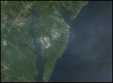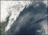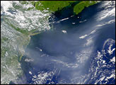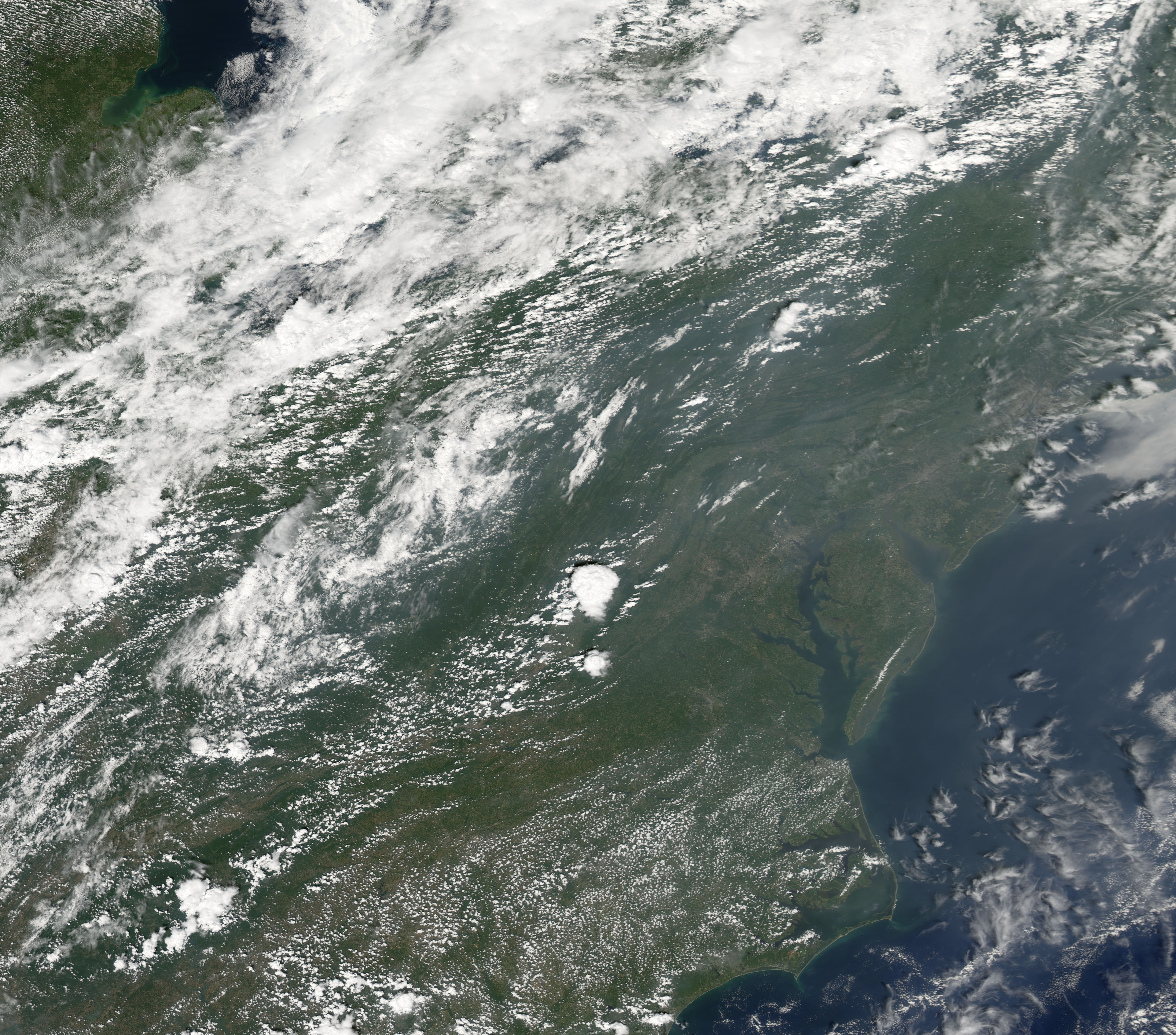
Haze dulled this picture of the mid-Atlantic states, taken on August 25, 2007, by the Moderate Resolution Imaging Spectroradiometer (MODIS) flying on NASA’s Aqua satellite. In this image, a wide band of haze hangs over the eastern seaboard and the Atlantic, with clouds floating overhead.
An August 25, 2007, posting on the U.S. Air Quality-Smog Blog at the University of Maryland, Baltimore County, described poor air quality, including unhealthy ozone levels in parts of Maryland and New Jersey. Local pollution was listed as a possible culprit.
You can download a 250-meter-resolution KMZ file of the U.S. East Coast suitable for use with Google Earth.
NASA image created by Jesse Allen, using data obtained from the Goddard Land Processes data archives (LAADS).