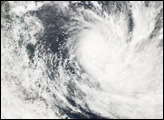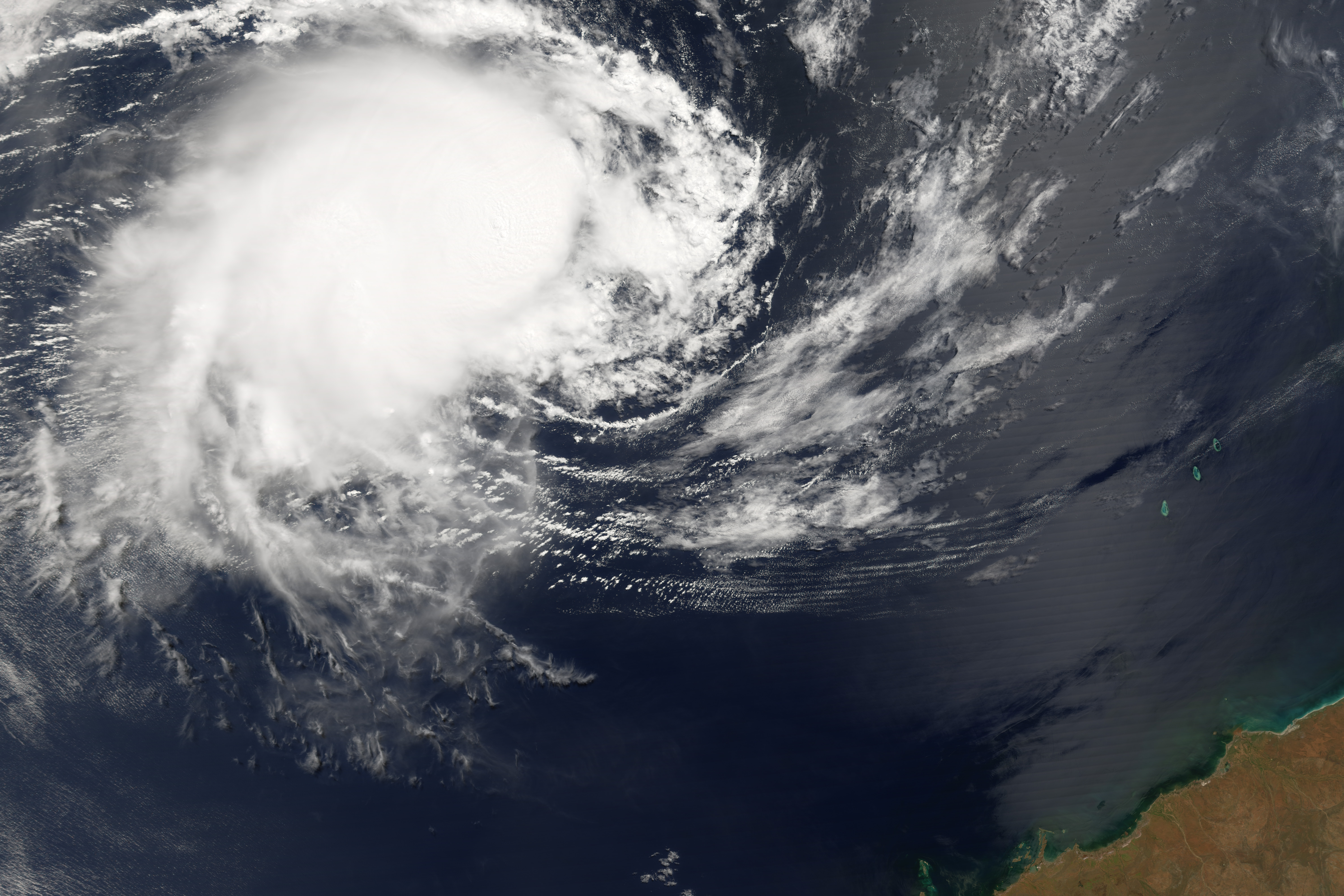
Tropical Cyclone Floyd formed northwest of Australia in the Timor Sea on March 21, 2006. The cyclone gained power gradually and was heading west into the Indian Ocean. It was not predicted to travel over any large landmasses, though it may pose a threat to Christmas Island well off the Western Australia coast in the Indian Ocean.
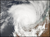
When the Moderate Resolution Imaging Spectroradiometer (MODIS) on the Terra satellite observed the storm at 11:55 a.m. Australian Western Daylight Saving time (02:35 UTC) on March 22, 2006, Tropical Cyclone Floyd was continuing to slowly build power and size. When MODIS made this observation, the storm had peak winds of around 120 kilometers per hour (75 miles per hour), and forecasts at the time called for it to continue to gather strength for at least several days, with predicted peak winds of 170 kilometers per hour (105 mph), according to the University of Hawaii’s Tropical Storm Information Center.
NASA image created by Jesse Allen, Earth Observatory, using data obtained courtesy of the MODIS Rapid Response team.
alert message