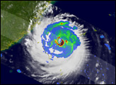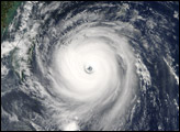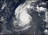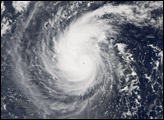

Longwang means Dragon King (the God of Rain) in Chinese. Typhoon Longwang was living up to its namesake when the Moderate Resolution Imaging Spectroradiometer (MODIS) on NASA’s Aqua satellite captured this image at 2:05 p.m. local time, on October 1, 2005. At that time, Longwang had peak sustained winds of 230 kilometers per hour (145 miles per hour), slightly less than the peak winds two days earlier, a pattern that suggests that Longwang had reached a stable state and was no longer gaining strength. It also has a “closed eye” (i.e., the eye of the storm has some cloud cover), another indicator of a storm no longer building additional power.
In the days following this image, Longwang cut directly across the middle of Taiwan, and early in the morning on October 2, made a second landfall in mainland China as a severe storm.
The large image provided above has a resolution of 250 meters per pixel. The image is available in additional resolutions from the MODIS Rapid Response Team.NASA image courtesy Jeff Schmaltz, MODIS Land Rapid Response Team at NASA GSFC
Typhoon Longwang formed in the northeastern Pacific Ocean near the Mariana Islands in late September 2005. It gathered strength as it moved west, eventually striking Taiwan and China.


