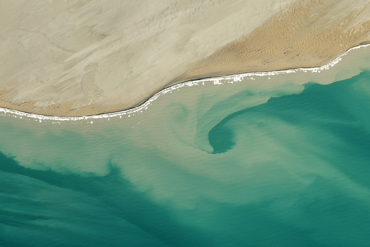
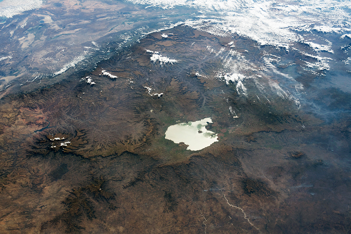
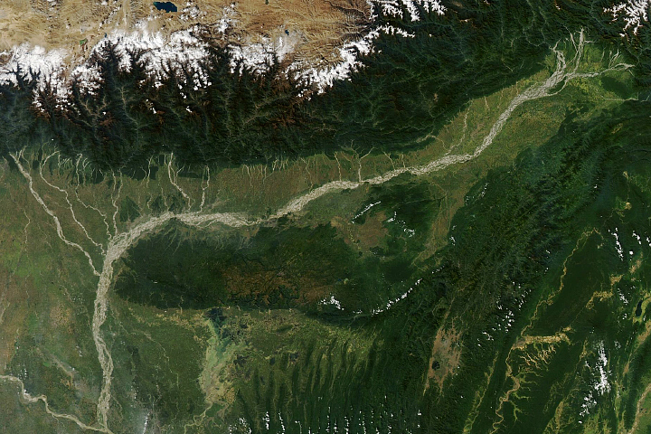
The Earth Observatory has published its last Image of the Day on this website. Please join us on our new home at science.nasa.gov/earth/earth-observatory.
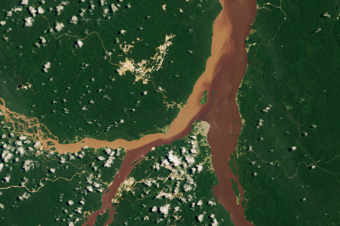
Guyana, a small country on the northern coast of South America, lies in the heart of the Guiana Shield—a 1.7-billion-year-old geologic feature made of hard crystalline rocks such as gneiss and granite. Over time, erosion has nonetheless chiseled away at weak parts of the landscape, helping mold sheer cliffs, towering flat-topped tepuis, and narrow valleys, rather than wearing it down evenly into broad, open plains.
In the Arawak language, Guyana means “land of many waters,” an apt name for a region drained by 47 medium to large rivers. Within Guyana itself—an area about the size of South Carolina—there are more than 10 major rivers. Remote sensing databases of river and watershed boundaries, such as HydroSHEDS and HydroATLAS, show that the Guiana Shield has a high drainage density; that is, the total length of rivers and streams relative to watershed area is large.
This satellite image highlights the confluence of three of Guyana’s major rivers—the Cuyuni, the Mazaruni, and the Essequibo—near Bartica, a town of about 15,000 people that serves as the gateway to Guyana’s interior. On the left side of the image, the Cuyuni breaks into several branching channels separated by long-lived vegetated islands. Geomorphologists classify this type of channel as anastomosing. The OLI (Operational Land Imager) on Landsat 8 acquired the image on August 16, 2023, one of the rare instances when the often cloudy area was relatively clear.
The difference in water color between the Cuyuni and the other two rivers is due to varying amounts of small particles floating in the water, or suspended sediment. When the image was acquired, the darker waters of the Mazaruni and Essequibo likely contained less suspended sediment, allowing tannins—organic compounds from decaying vegetation—to stain the water a dark brown color. In contrast, the Cuyuni appeared light brown because it was carrying what Colby College hydrologist Evan Dethier described as “enormous” amounts of fine-grained sediment.
“This image is from a wet time of year when all three rivers were running high and carrying a lot of sediment,” said Dethier. “But the Cuyuni is the clear outlier, which we can attribute to the intensity of mining upstream.”
Landsat has observed the expansion of several mining areas upstream, including mines around Las Claritas and El Dorado in Venezuela. Many gold and diamond mines lie adjacent to the Cuyuni and its tributaries, stirring up large amounts of fine particles that give the water a brown, muddy appearance, Dethier explained.
Dethier is the lead author of a study that applied machine learning techniques to infer sediment loads for more than 400 of the world’s rivers, using Landsat observations collected between 1984 and 2021. He found a sharp increase in sediment loads in the Southern Hemisphere largely due to land use changes and mining, particularly in the tropics and the Guiana Shield. In Guyana, Dethier and colleagues found that mining had altered about 50 percent of the country’s total river length, which was among the highest percentages of the countries they studied.
Dethier pointed to 2007 as the year when mining and sediment loads started to increase rapidly in this region. Since then, sediment loads in all three rivers have at least doubled, he said. Depending on the season, the Cuyuni can now carry up to ten times as much sediment as it did before mining became widespread.
NASA Earth Observatory image by Wanmei Liang, using Landsat data from the U.S. Geological Survey. Story by Adam Voiland.