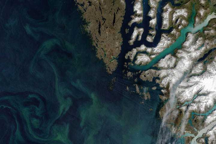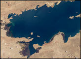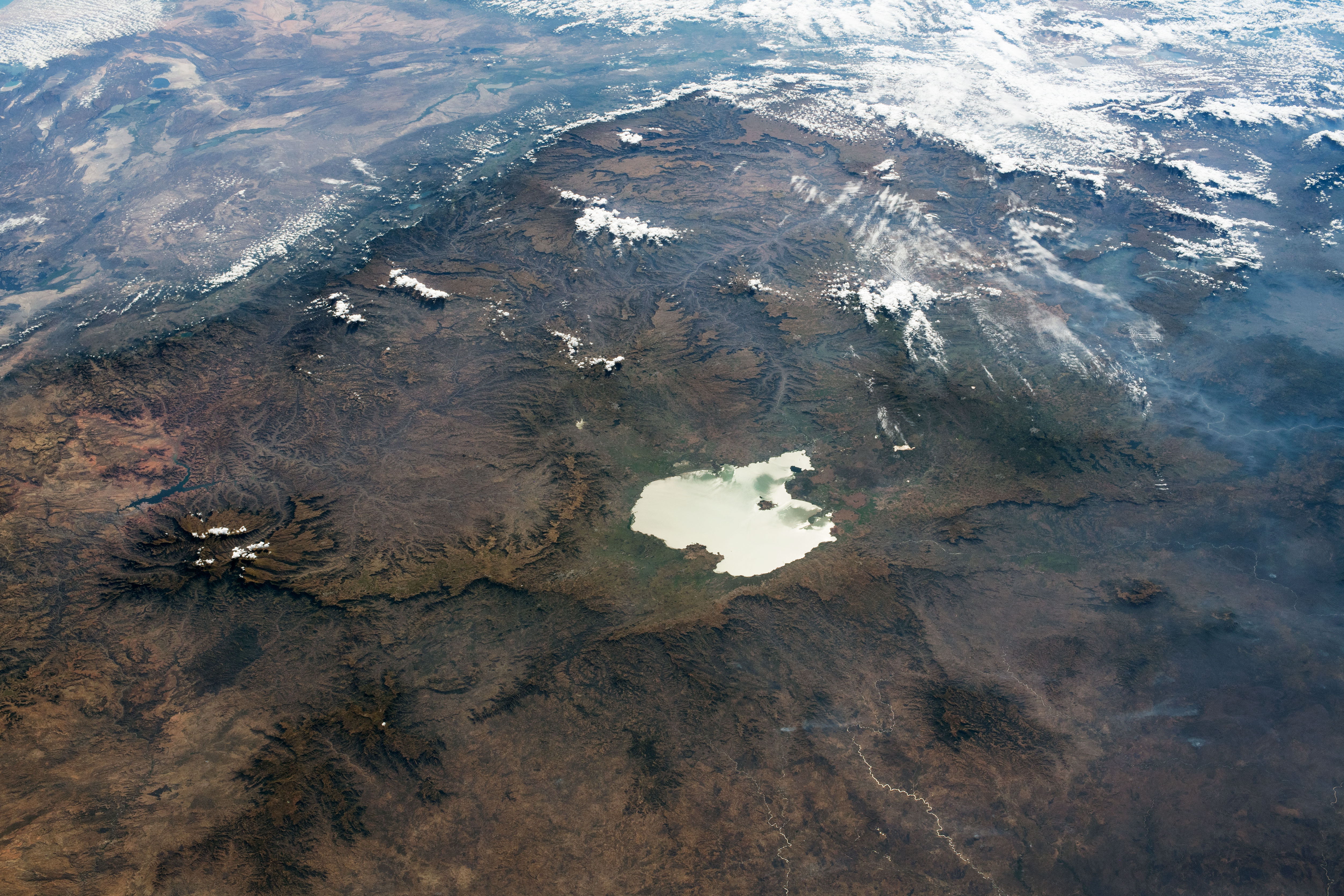
While in orbit over central Sudan, an astronaut on the International Space Station took this photograph featuring Lake Tana and the Ethiopian Highlands. The oblique angle and shadows help emphasize the rugged terrain of the Ethiopian Plateau, while Lake Tana, the largest lake in Ethiopia, appears mirror-like due to sunglint. The low-lying, tectonically active East African Rift Valley is bounded by the eastern edge of the Ethiopian Highlands.
The Semien (or Simien) Mountains tower over the plateau. With a peak rising 4,533 meters (14,926 feet) above sea level, Ras Dashen is the highest point in Ethiopia. Much of the Ethiopian Highlands are part of a large igneous province—a region with a significant accumulation of large lava rocks. The Semien Range was formed due to volcanic activity about 31 million years ago.
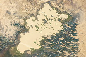
Although the highlands are surrounded by deserts, their elevation results in a temperate climate with ample rainfall. Lake Tana and its tributaries support an important fishing industry, in addition to agriculture in the surrounding wetlands. The lake also feeds the Blue Nile, which runs through northern Ethiopia and southern Sudan and delivers water to many communities. The river flows out of the south side of Lake Tana, through lower canyon areas south and east of the lake, and then turns northwest to ultimately join the White Nile in Sudan.
Astronaut photograph ISS061-E-113632 was acquired on January 3, 2020, with a Nikon D5 digital camera using a focal length of 50 millimeters. It is provided by the ISS Crew Earth Observations Facility and the Earth Science and Remote Sensing Unit, Johnson Space Center. The image was taken by a member of the Expedition 61 crew. The image has been cropped and enhanced to improve contrast, and lens artifacts have been removed. The International Space Station Program supports the laboratory as part of the ISS National Lab to help astronauts take pictures of Earth that will be of the greatest value to scientists and the public, and to make those images freely available on the Internet. Additional images taken by astronauts and cosmonauts can be viewed at the NASA/JSC Gateway to Astronaut Photography of Earth. Caption by Sara Schmidt, GeoControl Systems, JETS Contract at NASA-JSC.
alert message