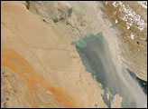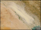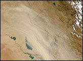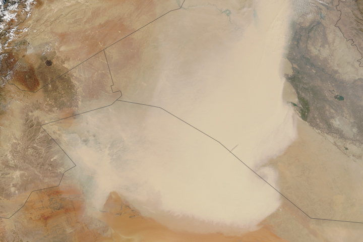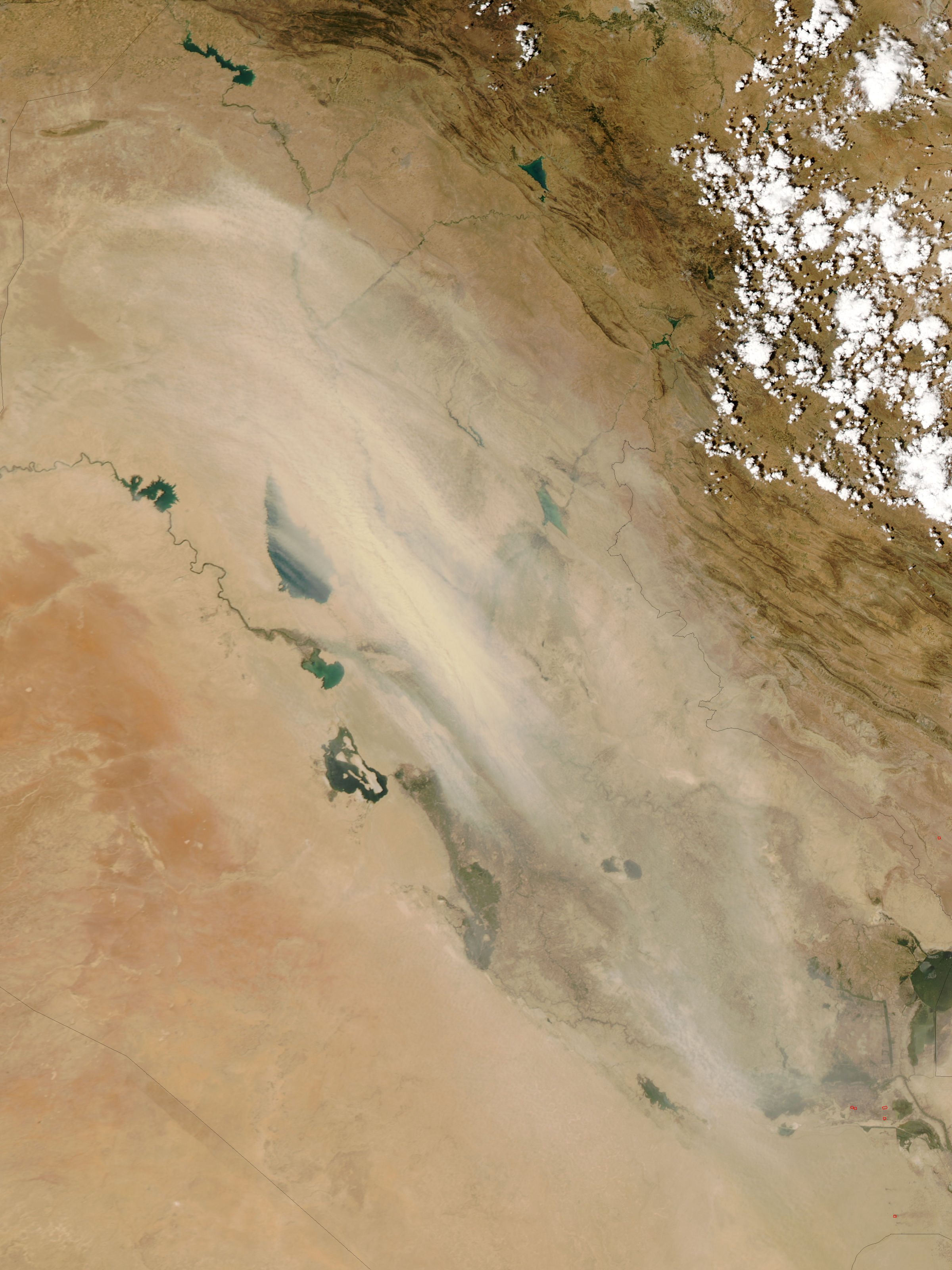
On July 24, 2005, a massive dust storm swept across Iraq, from northwest to southeast. The Moderate Resolution Imaging Spectroradiometer (MODIS) onboard the Aqua satellite captured this image of the dust storm obscuring land and water features on the ground. The Euphrates River meanders toward the southeast, occasionally spreading into floodplains. Tharthar Lake and Razzaza Lake also appear, though they are partially blocked by the dust overhead. Scattered clouds appear in the northeast.
At this time of year, Iraq typically sees little or no precipitation mixed with temperatures close to 120 degrees Fahrenheit (48 degrees Celsius). The hot, dry conditions can lead to heightened dust storm activity.
NASA image created by Jeff Schmaltz, MODIS Rapid Response team.