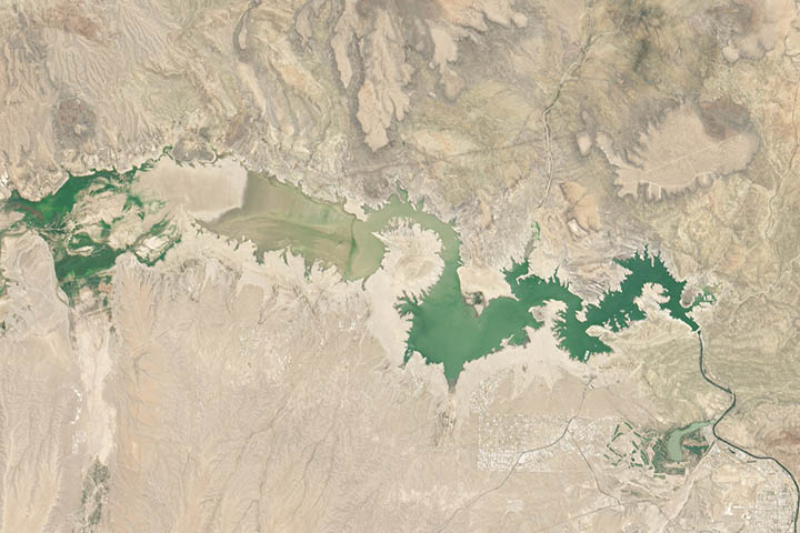
The Earth Observatory has published its last Image of the Day on this website. Please join us on our new home at science.nasa.gov/earth/earth-observatory.
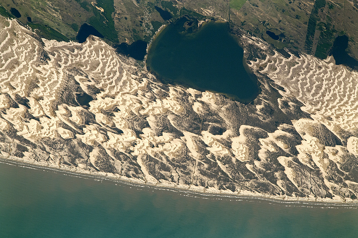
Since NASA Earth Observatory started publishing images in 1999, the archive has grown to contain more than 17,000 stories. This week, Image of the Day stories highlight this robust archive with a look back at images acquired “on this day.” Our brief retrospective illustrates that Earth observations are more than just snapshots in time; together they allow us to better understand—and marvel at—our diverse, changing planet. This photograph, taken on July 9, 2017, was originally published with the text below on October 16, 2017.
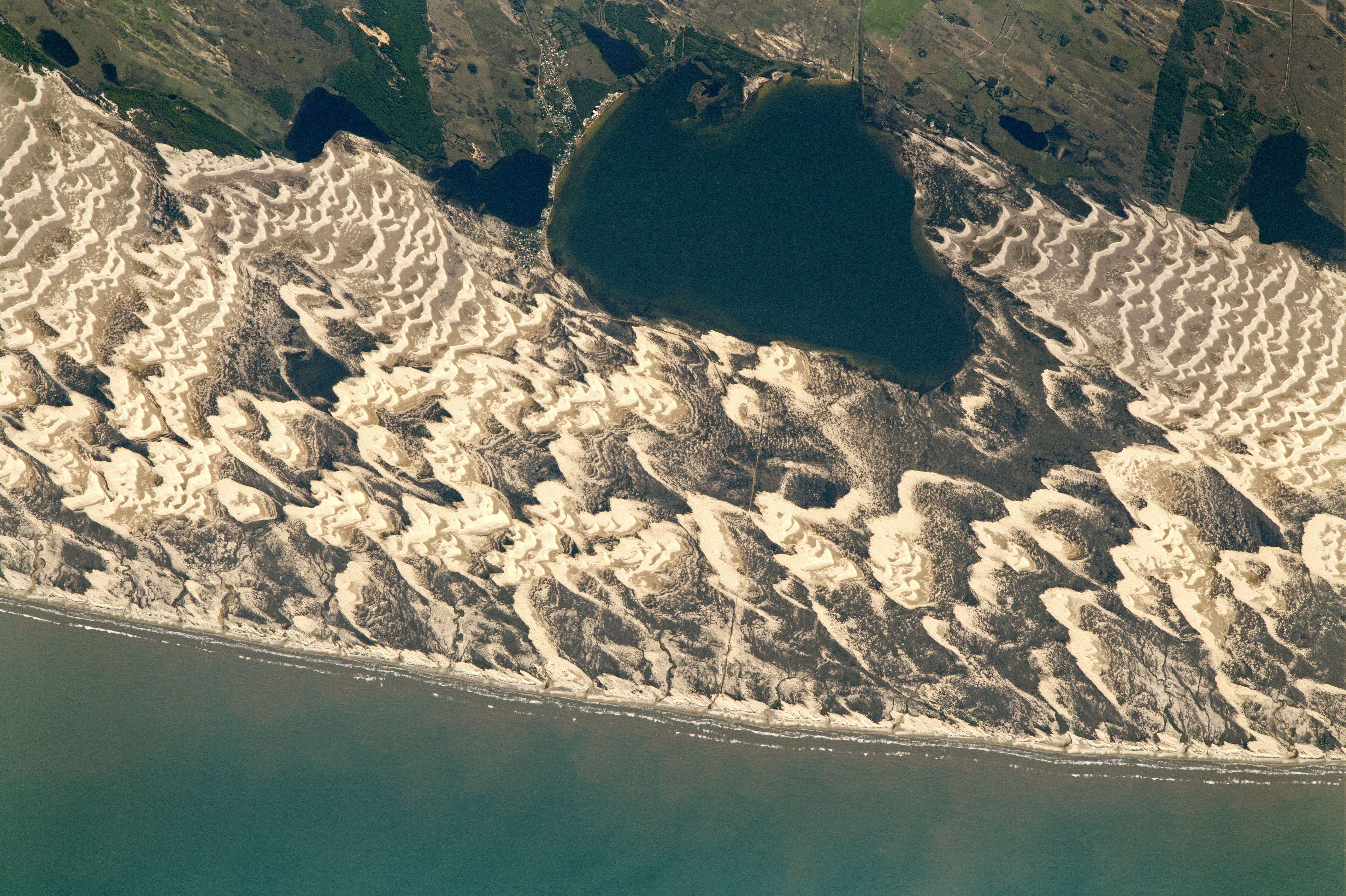
An astronaut aboard the International Space Station captured this photograph of Lagoa dos Barros and crescent-shaped barchan dunes on the Atlantic coastline of southern Brazil. Lagoa dos Barros is approximately 4.5 kilometers (2.8 miles) long. The lagoons along the Brazilian coast formed around 400,000 years ago as part of the cyclic rise and fall of sea level—known to geologists as the transgression-regression cycle. The formation of Lagoa dos Barros is similar to what occurred alongside Lagoa Mirim, 340 kilometers to the south-southwest.
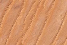
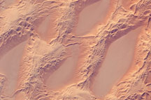
Strong winds blowing in from the Western Atlantic sculpt the sand along the coast into distinctive crescent shapes. Multiple dunes have overlapped and coalesced to form dune fields, with prominent examples visible to the northeast and southwest of the lake. The tips of barchan dunes point downwind, indicating the prevailing wind direction. These fragile formations act as barriers keeping the wind and waves from penetrating inland, blunting the effect of storms and minimizing coastal erosion.
Astronaut photograph ISS052-E-14188 was acquired on July 9, 2017, with a Nikon D5 digital camera using a focal length of 1150 millimeters. It is provided by the ISS Crew Earth Observations Facility and the Earth Science and Remote Sensing Unit, Johnson Space Center. The image was taken by members of the Expedition 52 crew. The image has been cropped and enhanced to improve contrast, and lens artifacts have been removed. The International Space Station Program supports the laboratory as part of the ISS National Lab to help astronauts take pictures of Earth that will be of the greatest value to scientists and the public, and to make those images freely available on the Internet. Additional images taken by astronauts and cosmonauts can be viewed at the NASA/JSC Gateway to Astronaut Photography of Earth. Caption by Andi Brinn Thomas.