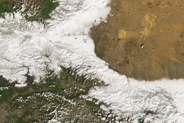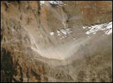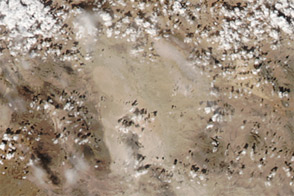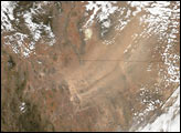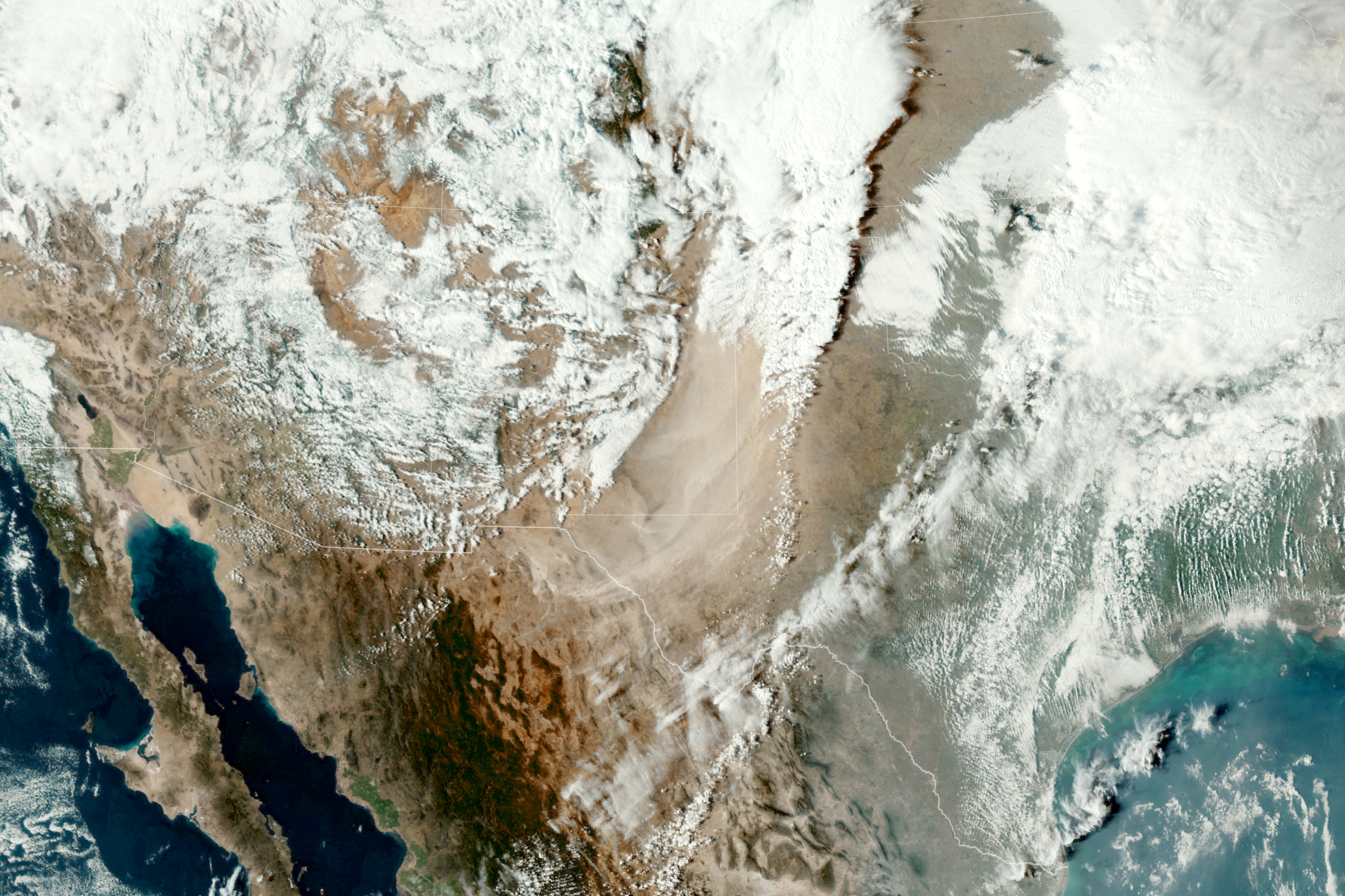
In late February 2023, a sprawling storm system that brought rare snowfall to parts of California also fueled violent thunderstorms and tornadoes in the Southern Plains. In the wake of the cold front, strong winds lofted a huge amount of dust into the air and darkened skies across parts of northern Mexico, eastern New Mexico, and northwestern Texas.
The dust storm is visible in this simulated natural-color image, acquired late in the afternoon on February 26 by the Advanced Baseline Imager (ABI) on the Geostationary Operational Environmental Satellite 16 (GOES-16). The satellite is operated by the National Oceanic and Atmospheric Administration (NOAA); NASA helps develop and launch the GOES series of satellites.
According to news reports, numerous areas faced wind gusts of more than 70 miles (110 kilometers) per hour. Memphis, Texas, saw a peak gust of 114 miles (183 kilometers) per hour. Sustained winds of that speed would rival those of a major hurricane.
Dust can degrade air quality and have negative health effects. In Lubbock, Texas, fine particulate matter (PM2.5) on that day reached 158 on the air quality index, according to AirNow. Values on the index between 151 and 200 are considered unhealthy, which means otherwise healthy people might experience adverse health effects; sensitive groups might experience more serious health effects.
In addition to health hazards, dust storms can reduce visibility and lead to hazardous travel conditions. Dry, windy, and dusty weather can also affect crops. According to news reports, the recent storm damaged some dryland winter wheat in the Texas Panhandle.
NASA Earth Observatory image by Lauren Dauphin, using GOES 16 imagery courtesy of NOAA and the National Environmental Satellite, Data, and Information Service (NESDIS). Story by Kathryn Hansen.