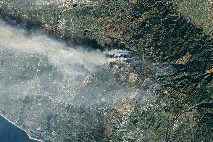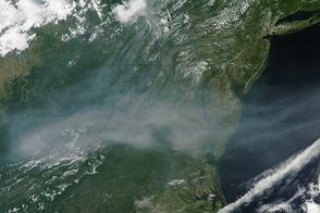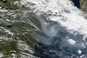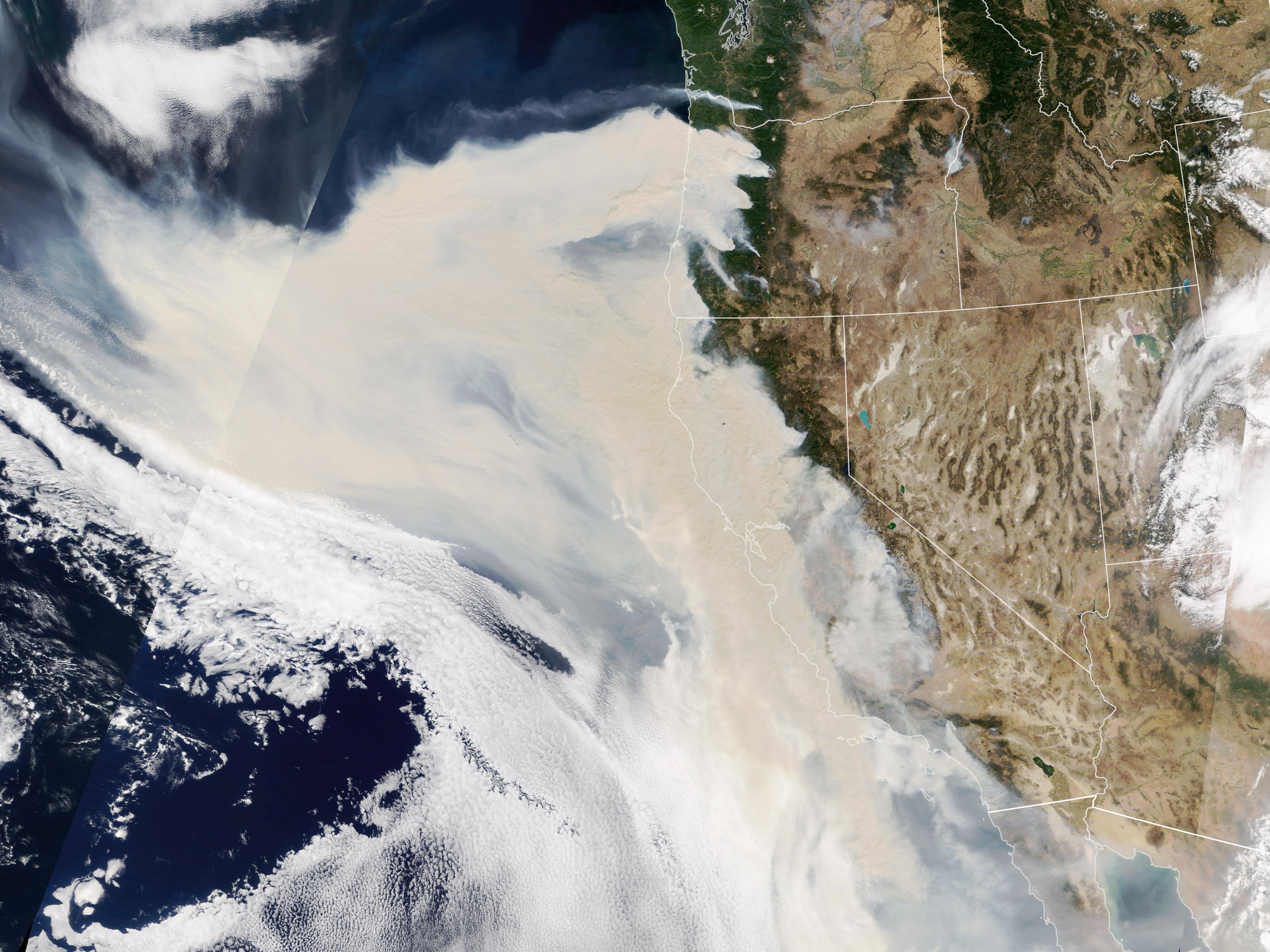
Wildfires continue to rage in the western United States. On September 9, 2020, the Moderate Resolution Imaging Spectroradiometer (MODIS) on NASA’s Terra satellite captured this natural-color image of thick smoke streaming from a line of intense fires in Oregon and California. Many communities in the region are facing extremely poor and sometimes hazardous air quality.
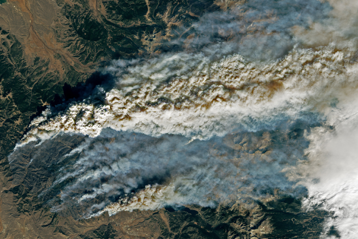
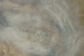
The smoke was so thick and widespread that it was easily visible from 1.5 million kilometers (1 million miles) away from Earth. When NASA’s Earth Polychromatic Imaging Camera (EPIC) on NOAA’s DSCOVR satellite acquired the image below, large areas of Oregon, California, and the northeastern Pacific Ocean were obscured by smoke.
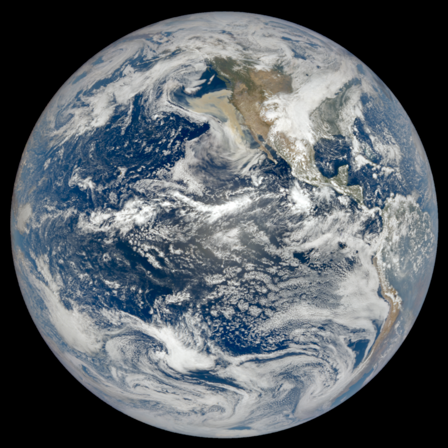
NASA Earth Observatory images by Lauren Dauphin, using MODIS data from NASA EOSDIS/LANCE and GIBS/Worldview and data from DSCOVR EPIC. Caption by Adam Voiland.