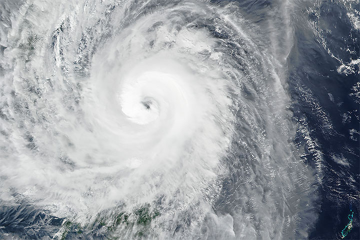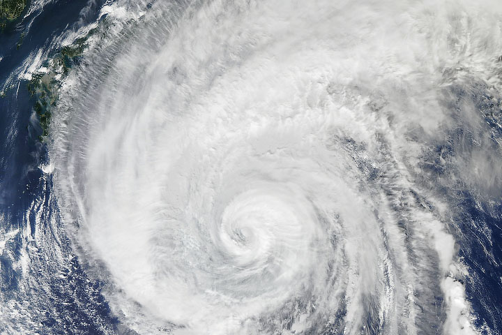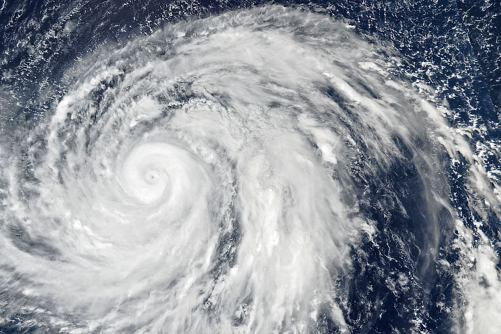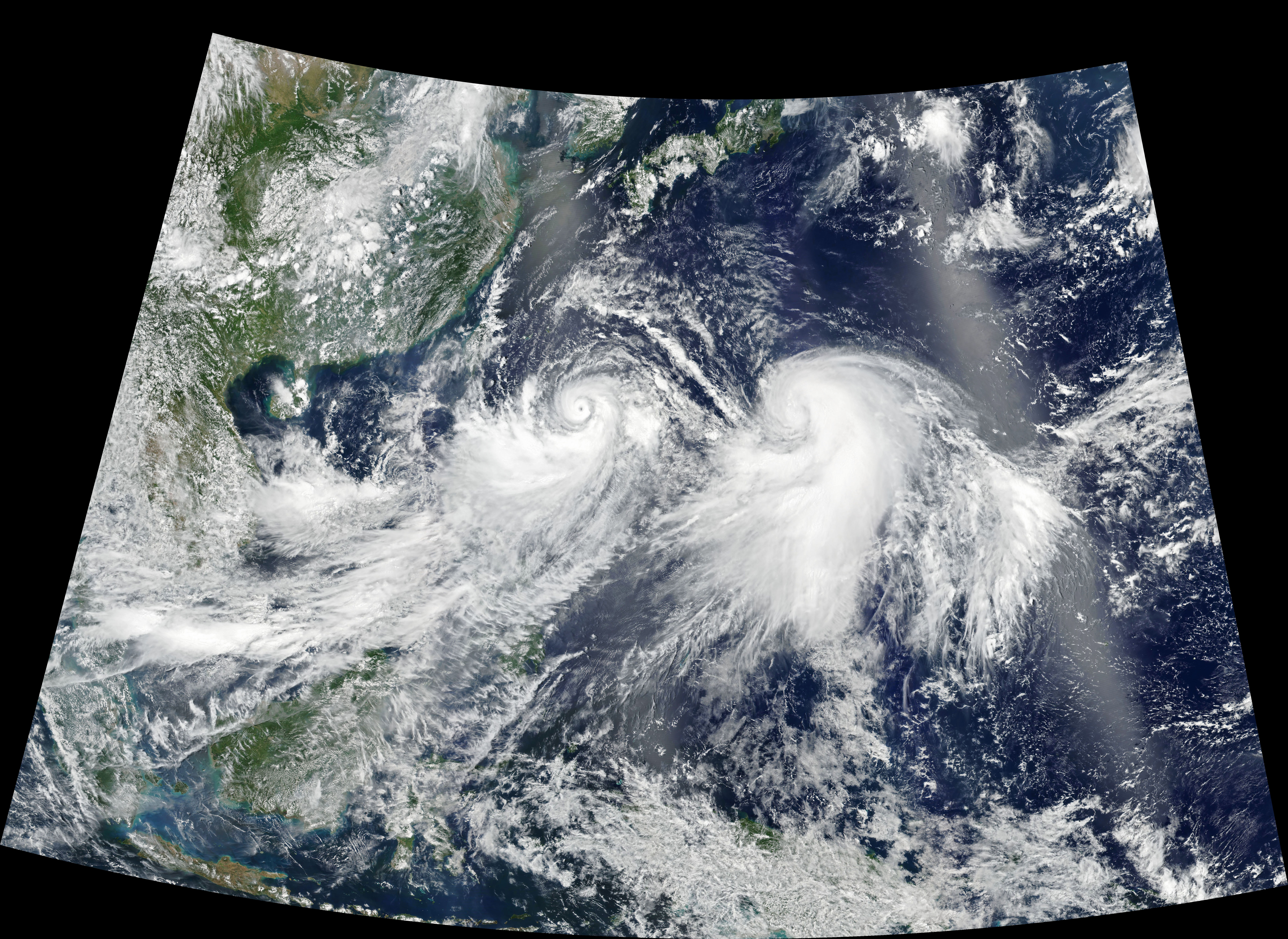
In early August 2019, dual storms marched across the Western Pacific Ocean. The Visible Infrared Imaging Radiometer Suite (VIIRS) on the Suomi NPP satellite acquired this natural-color image of Typhoon Lekima (left) and Tropical Storm Krosa (right) at about 04:30 Universal Time (1:30 p.m. Japan Standard Time) on August 7, 2019.
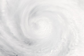
Around the time that the image was acquired, Typhoon Lekima had rapidly intensified into a category 2 storm with maximum sustained winds of 90 knots (100 miles/160 kilometers per hour). A few hours later the storm intensified into a category 3 storm and was expected to continue to strengthen as it tracked northwest toward Japan’s southern Ryukyu Islands, Taiwan, and eastern China.
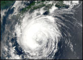
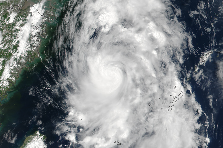
Tropical Storm Krosa, the weaker of the two storms, had maximum sustained winds of 60 knots (70 miles/110 kilometers per hour) around the time of this image. This storm was tracking in a more northerly direction as it slowly strengthened.
NASA Earth Observatory image by Joshua Stevens, using VIIRS data from NASA EOSDIS/LANCE and GIBS/Worldview, and the Suomi National Polar-orbiting Partnership. Text by Kathryn Hansen.
alert message