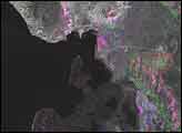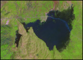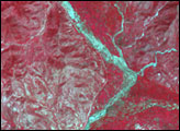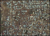

The month that has passed since Tropical Storm Jeanne flooded Haiti has allowed time for a closer look at the tragic flooding. While the floods that killed over a thousand in Gonaives were initially easy to spot, this analysis shows how much more of the northwestern arm of the island was affected. The image compares synthetic aperture radar (SAR) data collected by the RADARSAT-1 satellite (Canadian Space Agency) on September 24 and 30 to data collected on July 16, 2003. The changes have been color-coded and superimposed on a Landsat-7 scene, taken on July 3, 2003.
Marbled veins of color across the entire region reveal extensive flooding. In the above image, areas that were dry on September 24, but flooded on September 30 as flood waters advanced and drained, are colored blue. Regions that were flooded between September 24 and September 30 are pink, and areas that were flooded on the 24th, but drained by the 30th are colored red. Landslides and regions that were covered with sediment after flash floods coursed through are green. Grey land shows where no changes were detected. Though grey seems to dominate the image, a close look shows that most of the northwestern peninsula was affected by the floods. Since the region was one of the primary crop areas in Haiti, the widespread flooding could have a lasting impact on the country.
Image and analysis courtesy ParBleu Technologies. Landsat image provided by the Global Land Cover Facility at the University of Maryland. RADARSAT-1 SAR data copyright the Canadian Space Agency and Radarsat International.
A month after devastating floods tore across northern Haiti, an analysis of RADARSAT SAR data shows just how widespread the floods were.


