The Earth Observatory has published its last Image of the Day on this website. Please join us on our new home at science.nasa.gov/earth/earth-observatory.
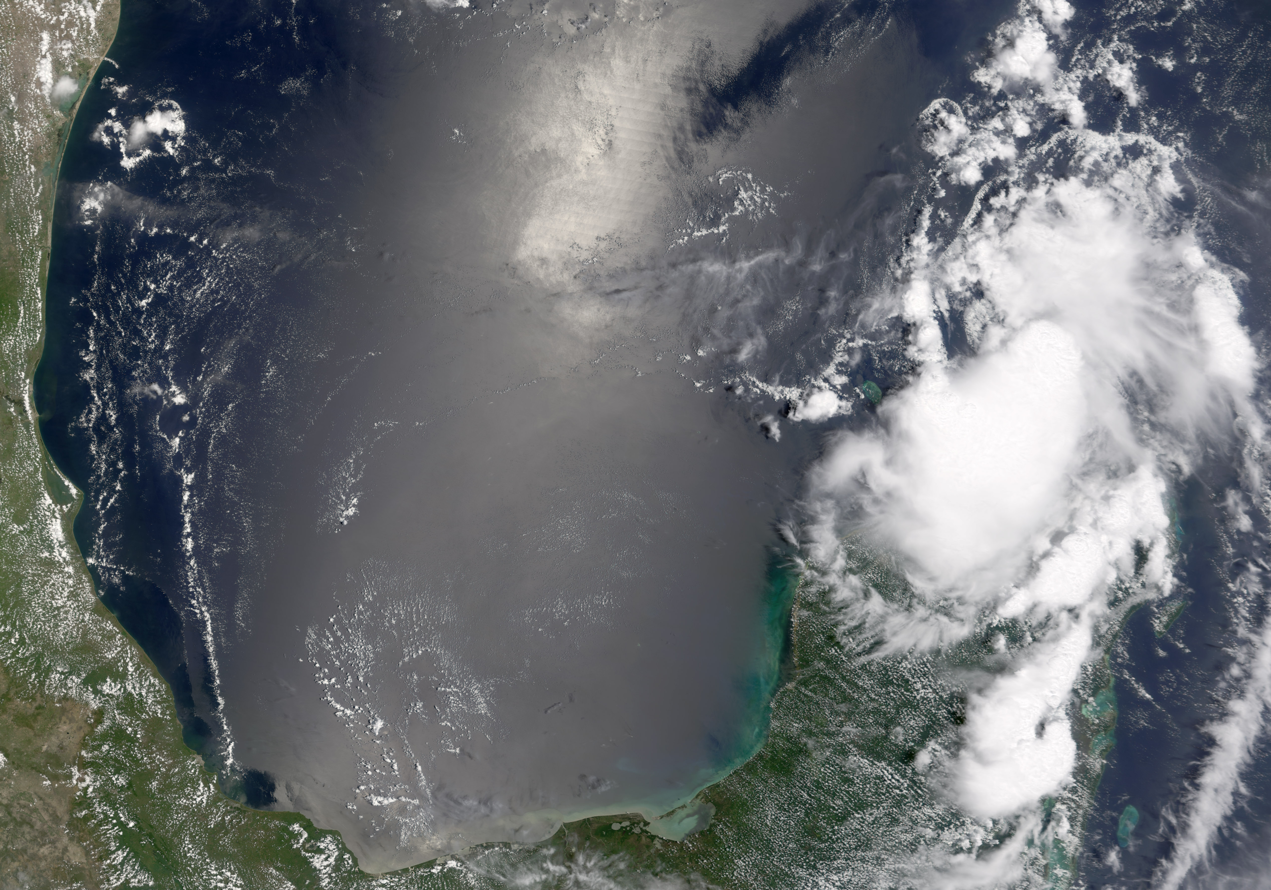
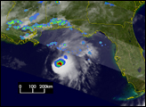
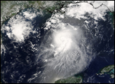
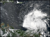
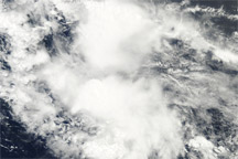
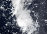
The MODIS instrument onboard NASA Terra satellite captured this true-color image of Tropical Storm Bonnie on August 9th at 1:00 PM EDT (17:00 UTC). At the time this image was taken, Bonnie was just beginning to exhibit signs of tropical storm development and had maximum sustained winds around 40 mph.
Image courtesy Jesse Allen, NASA's Earth Observatory.