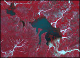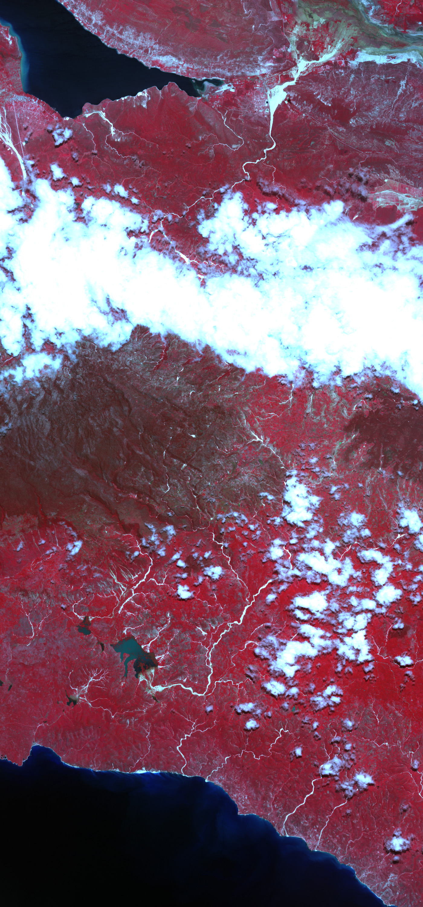
Heavy rain brought tragedy to Haiti and the Dominican Republic in late May 2004. Floods and landslides devastated large areas of the island of Hispaniola, which the two countries share. Up to 2,000 people have been reported dead, and hundreds are still missing. One of the most severely affected areas was southeast Haiti, shown in this Advanced Spaceborne Thermal Emission and Reflection Radiometer (ASTER) image. Taken on May 30, the image shows dark blue lakes over land that was dry on October 26, 2003. One of these lakes is said to cover much of Mapou, where thousands died. Gravel and other flood debris form shiny light blue tracks throughout the scene. Vegetation is red and bare land is grey. The severity of these floods has been blamed on deforestation. Without trees to absorb water and anchor the land, water and mud rushed into low-lying areas.
Data courtesy MITI, ERSDAC, JAROS, and the U.S./Japan ASTER Science Team