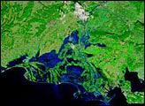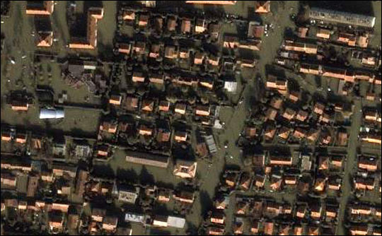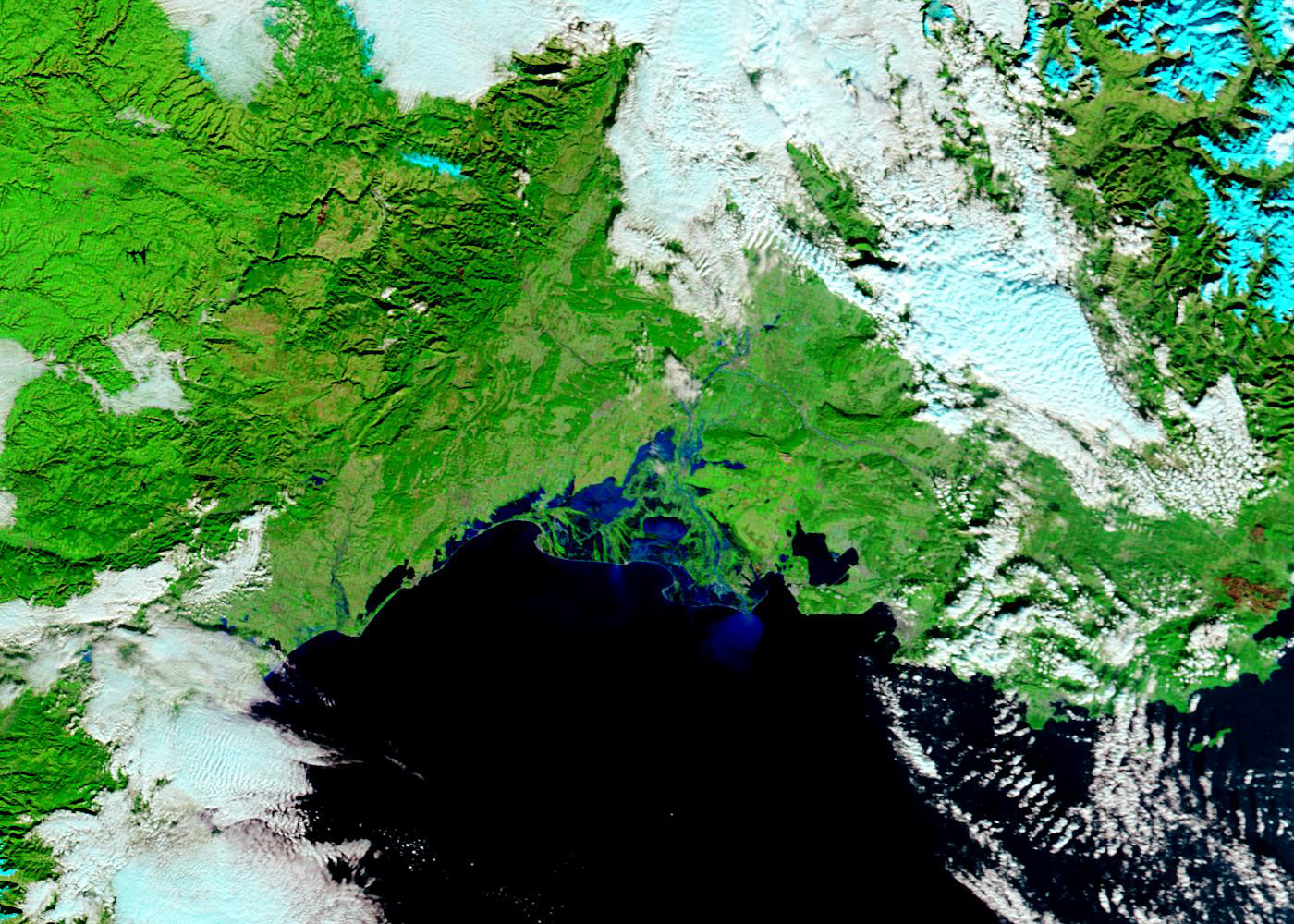
These false-color Moderate Resolution Imaging Spectroradiometer (MODIS) images show the extent of flooding along the southern reaches of the Rhone River in France. Almost constant rain has fallen over the region since early October. Then, torrential rains began on December 1, 2003, pushing the Rhone River to its highest ever recorded volume. Thousands of people fled their homes as the flood waters rose. This is the eighth time the river has flooded in the past eleven years.
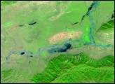
The top MODIS image, captured by the Terra satellite on December 7 shows dark blue pools of standing water around the Rhone River delta. The river itself is swollen compared to an image taken on October 6, 2003, before the rains started. Sediment carried by the floods is tinting the otherwise black seawater a bright blue.
Both images are at MODIS’ maximum resolution of 250 meters per pixel. The images are available in additional resolutions.
Image courtesy Jacques Descloitres, MODIS Rapid Response Team at NASA GSFC
alert message