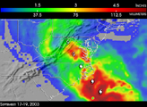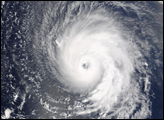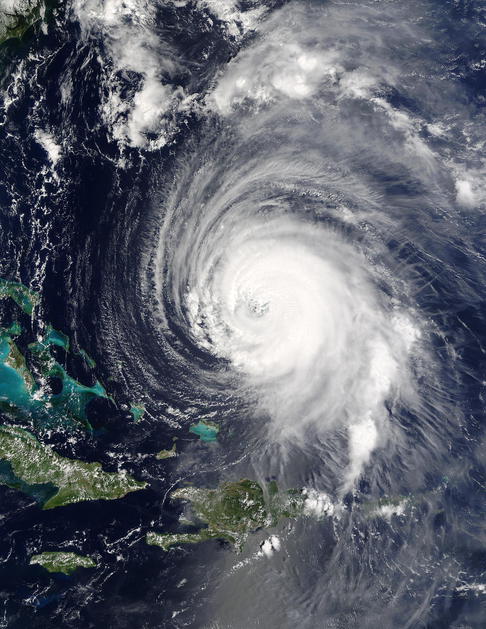
The Moderate Resolution Imaging Spectroradiometer (MODIS) on NASA’s Terra satellite captured this image of Hurricane Isabel just east of the Bahamas on September 15, 2003 at 15:30 UTC. Though the storm had begun to weaken, it still packed winds of 138 miles per hour with gusts up to 167 miles per hour.
Image courtesy Jacques Descloitres, MODIS Rapid Response Team at NASA GSFC