The Earth Observatory has published its last Image of the Day on this website. Please join us on our new home at science.nasa.gov/earth/earth-observatory.
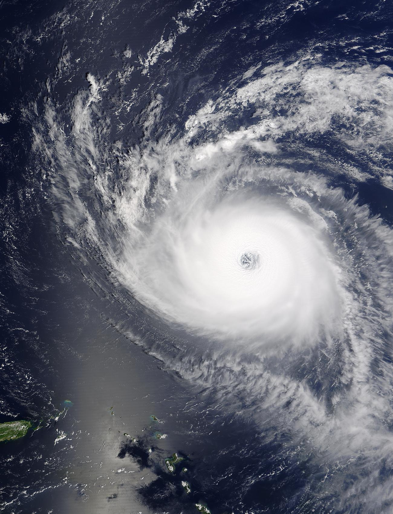
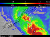
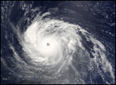
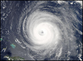
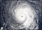
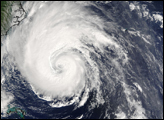
The MODIS instrument onboard NASA's Terra satellite captured this true-color image of Hurricane Isabel northeast of the Lesser Antilles Islands. Isabel continues to maintain Category 5 status with maximum sustained winds near 160 mph.
Image courtesy Jacques Descloitres, MODIS Land Rapid Response Team at NASA GSFC.