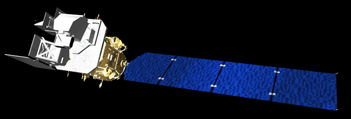

Within the Department of Water Resources, METRIC has not entirely replaced former methods of estimating evapotranspiration from weather station measurements. Ironically, the hesitation in adopting METRIC completely came from the Landsat program itself. In part because of the history of unsuccessful attempts to use Landsat thermal data to calculate evapotranspiration, the next Landsat satellite, the Landsat Data Continuity Mission, was not designed with an instrument that could take the thermal measurements required for the METRIC model.
Morse and Allen, along with the Western States Water Council, began to push NASA, USGS, and Congress to add a thermal band to the next Landsat mission. “They have been very vocal and very well-articulated with respect to their need for that data,” says Jim Irons, NASA project scientist for the Landsat Data Continuity Mission. As a result, NASA decided to add the capacity to take thermal measurements to the Landsat Data Continuity Mission. “I think if they had not conveyed the value they hold for the thermal data, we would have had a very difficult case to make for restoring the thermal imager,” says Irons. A grant designed to help develop applications for Landsat data had come full circle to affect the design of subsequent Landsat missions.

But the real winners are western water managers, who now have an efficient way to monitor and manage water consumption. “METRIC made an enormous difference,” says Morse. “For the first time, we can map water use on a field by field basis, which is how water is actually managed,” Morse told a board from the Harvard Kennedy School of Government, which in September 2009 awarded the Idaho Department of Water Resources an “Innovations in American Government” award for developing and using METRIC. “We rely on publicly available, non-proprietary Landsat data. This means that the data for all parties to a conflict are consistently processed and equally available to all.”
Contibutors to the University of Idaho METRIC development have included Dr. Masahiro Tasumi, Univ. Miyazaki, Japan; Dr. Ricardo Trezza, Univ. Andes, Venezuela; Dr. Jeppe Kjaersgaard, Univ. Idaho; Dr. Ignacio Lorite-Torres, IFAPA, Cordoba, Spain; Dr. Magali Garcia, Univ. La Paz, Bolivia; Mr. Clarence Robison, Univ. Idaho; Mr. William Kramber and Tony Morse, IDWR; and Dr. Wim Bastiaanssen, WaterWater, Netherlands.