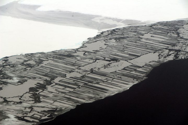
This photograph shows finger rafting in sea ice, captured during the Operation IceBridge mission on November 14, 2017. Photo by NASA/John Sonntag.
“I don’t understand it. I haven’t been this perplexed about the weather in the Weddell Sea area for years,” said John Sonntag, mission scientist for NASA’s Operation IceBridge mission. Sonntag is a self-described weather geek. He is also world-renowned for his insight into the weather in West Antarctica.
Instrument operators, flight crew, and various IceBridge support people gathered on the evening of November 13 in Ushuaia in a hotel conference room, where they listened to Sonntag’s synopsis of the weather situation. A number of factors go into choosing which of the science targets to fly. Weather is a big one. Not only for safety, but most of the instruments on board need little to no clouds in order to make measurements. One thing was certain: weather permitting, the next day’s mission would be over Antarctic sea ice.
According to Sonntag, the location of a high-pressure ridge should cause wind to blow from north to south immediately east of the peninsula. That would cause fog to form when it reached the Weddell Sea; farther from the peninsula the fog would clear as the winds reversed around the ridge. Some models agreed, but others called for the opposite. That’s the challenge faced by Sonntag and IceBridge project scientist Nathan Kurtz, who had to decide whether to fly a mission the next day. Which weather forecast model do you trust? And which remaining mission plans will provide the most scientific value?
The main goal of flights over sea ice is to map its thickness. That’s typically done with a satellite, but the ICESat mission ended in 2009 and ICESat-2 is scheduled to launch in 2018. In the meantime, thickness can be measured from aircraft with a radar instrument by timing how long it takes radar waves to penetrate the layers in the sea ice.
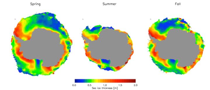
Data from ICESat were used to construct these maps of sea ice thickness around Antarctica. In lieu of a satellite, data from Operation IceBridge is used to map sea ice thickness in targeted areas.
On the morning of November 14, Kurtz and Sonntag re-evaluated the forecast models and Kurtz made the final call: The “Seelye loop south” mission over sea ice was a go. The nearly 10-hour mission, flown almost every year since IceBridge started making flights over Antarctica in 2009, is essentially an out and back line over the Weddell Sea. At this point in the campaign—more than halfway through and with plenty of allotted flight hours remaining—he decided to play the odds. Time would tell where the clouds really were.
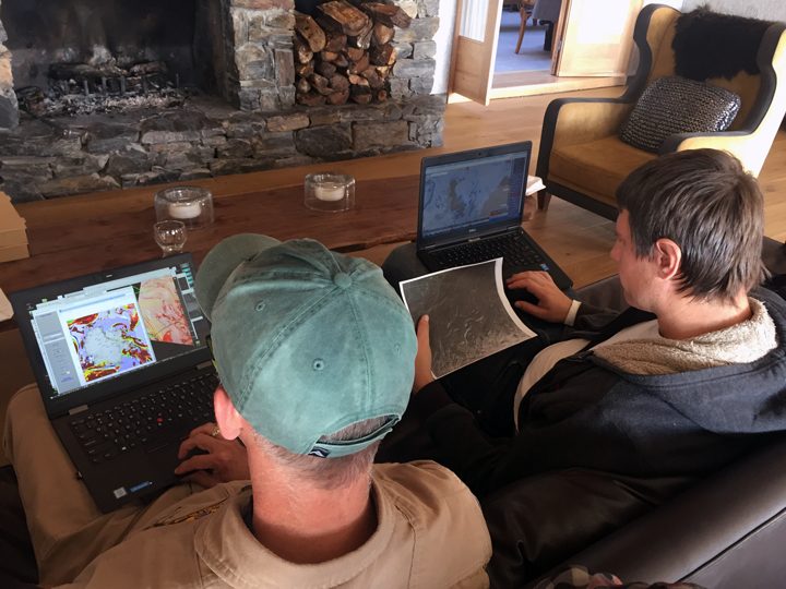
On November 14, 2017, John Sonntag (left) and Nathan Kurtz (right) evaluate the newest forecast models before deciding whether to fly a sea ice mission. Photo by NASA/Kathryn Hansen.
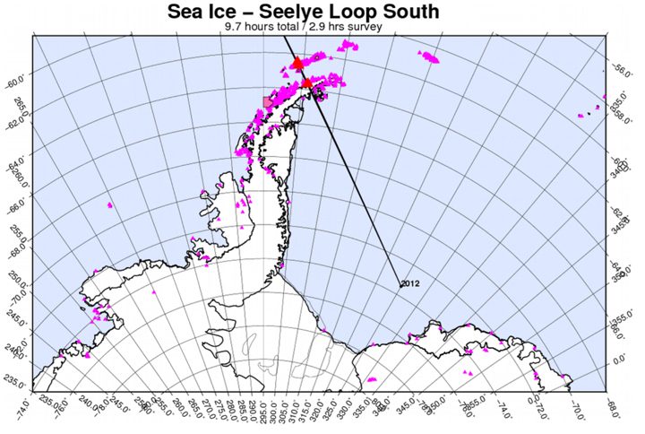
This map shows the planned flight line for the “Seelye loop south” mission.
As I’m writing, we’re flying over the Antarctic Peninsula toward the Weddell Sea. Fog extends all the way to the ground but you can still make out the faint shapes of rock outcrops. A moment later the fog dissipates. Kurtz watches out the window and smiles. “It’s exhilarating, it’s a lot like gambling.”
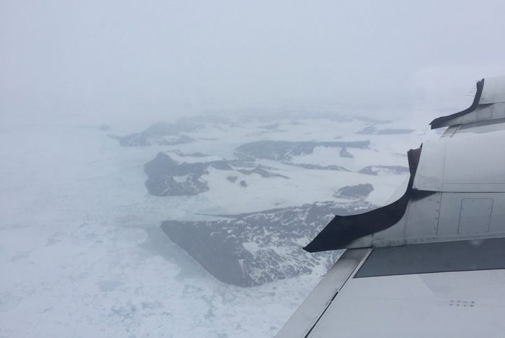
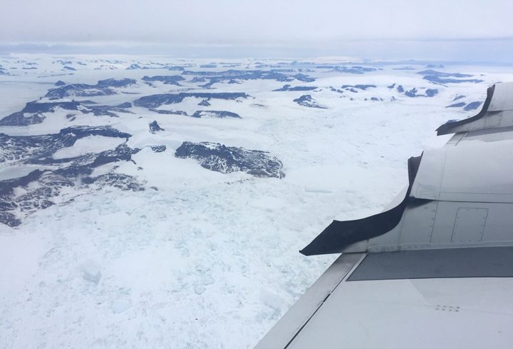
Fog (top) gives way to clear skies (bottom) over the Antarctic Peninsula. Photos by NASA/Kathryn Hansen.
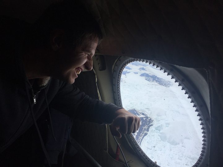
Nathan Kurtz is relieved to see the skies turn from foggy to clear over the Antarctic Peninsula. Photo by NASA/Kathryn Hansen.
Instrument operators monitor the incoming data. Flying at an average altitude of 1,500 feet (sometimes as low as 1,000 feet), I spot the occasional seal. Then, as we continue along the flight line we become sandwiched between layers of clouds. It’s hard to tell where the sky ends and the ice begins.
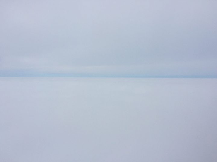
Pilots fly the P-3 between layers of clouds.
But as fast we encountered the clouds, we leave them behind again. “It was a roller coaster, up and down,” Kurtz says as we head back to Ushuaia. “But now I’m excited, the flight went well.”
Tags: Antarctic 2017


