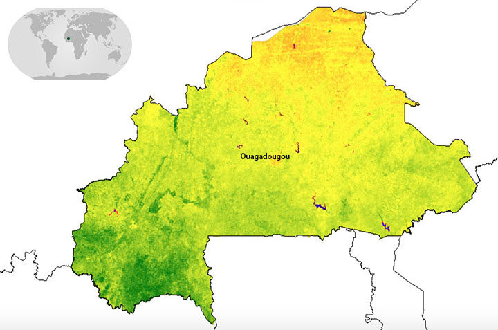
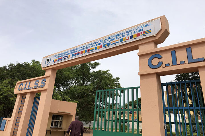
When I said I was going to Ouagadougou (Wa-ga-du-gu), the first question was “where, again?” So let’s start with the basics. Ouagadougou is the capital of Burkina Faso–a land-locked country in West Africa–located to the south of Mali, southwest of Niger, and north of Ghana and Togo. It is home to over 80 ethnic groups as well as Africa’s largest craft market. Burkina Faso also happens to be one of four pilot countries of the SERVIR-West Africa program, which launched in July 2016. The country’s forests are quickly degrading and shrinking; therefore, the first SERVIR service in Burkina Faso focuses on resource management, land use, and restoration.

The week-long workshop brought together members from communes, or sub-provinces, across Burkina Faso with representatives from SERVIR-West Africa, the West Africa Biodiversity and Climate Change (WABiCC) program, NASA, and the US Agency for International Development (USAID). Together, we discussed environmental problems impacting the local communities–from degraded forests due to agricultural expansion, to the build-up of garbage around communities. Through the work of SERVIR-West Africa, one idea is to use satellite datasets (e.g. from Landsat) for land use planning and monitoring environmental degradation.

One major limitation many communes throughout Burkina Faso encounter with any activity is safety. The primary concern of safety is related to terrorism, which spiked in December of 2018. This can be a major hurdle when trying to map the landscape like we want to do with this service, because there is no easy way for someone to physically go to different areas to validate land cover and land use maps. Therefore, one innovative approach SERVIR-West Africa and the Higher Institute for Space Studies and Telecommunications (ISESTEL) is using small Unmanned Aerial Vehicles (sUAVs) with cameras attached. I had the opportunity to actually see this technology in action, and the sUAVs drew quite the crowd. The goal is to use this drone imagery to validate the larger-scale NASA satellite data to map communes and monitor changes over time.

The second week of the trip to Burkina Faso included stakeholders from across Niger and Burkina Faso brought together to discuss a wide range of water-related issues. We focused on flooding, groundwater, and surface water monitoring. Each of the partners in attendance were able to discuss what they are currently involved in around these various topics and where they may be able to work together.

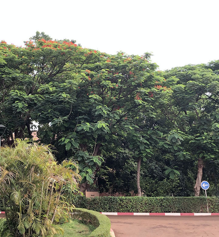
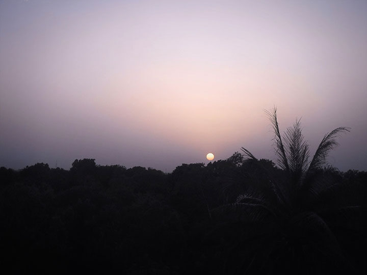
After two productive weeks in Ouagadougou, it was time for the sun to set on the trip and for me to head back to the United States. From what I saw of Burkina Faso, it is a beautiful country with plenty of greenery and different flora, delicious food, and lots to see. I look forward to being a part of the innovative work being done with our institutional partners–from the fusion of sUAVs with satellite data to finding new ways to do field work.

Tags: Burkina Faso, Connecting Space to Village, NASA SERVIR, sUAVs


Hi, thanks for your report.
Do you know whether this project is still going? Do you know if there are other space-related projects in Ouagadougou? I already have an interest in Burkina Faso and I’m hoping to find an opportunity to see space applications being exploited there, and to contribute to their development.
Would be great to hear first hand what’s possible!
Thanks.
Hi Emily,
Feel free to reach out to Rebekke Muench (rebekke.e.muench@nasa.gov) for opportunities of involvement. She works for the NASA SERVIR Science Coordination Office as a Regional Science Associate for their West Africa partners.
Best of luck!
Andi