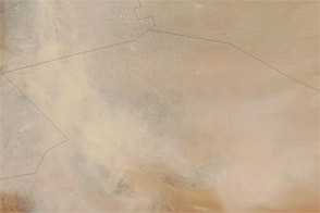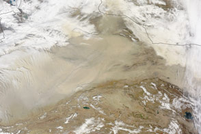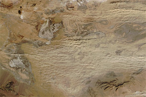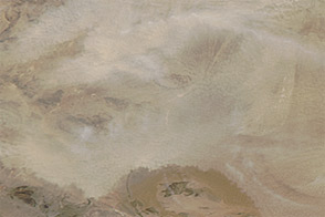
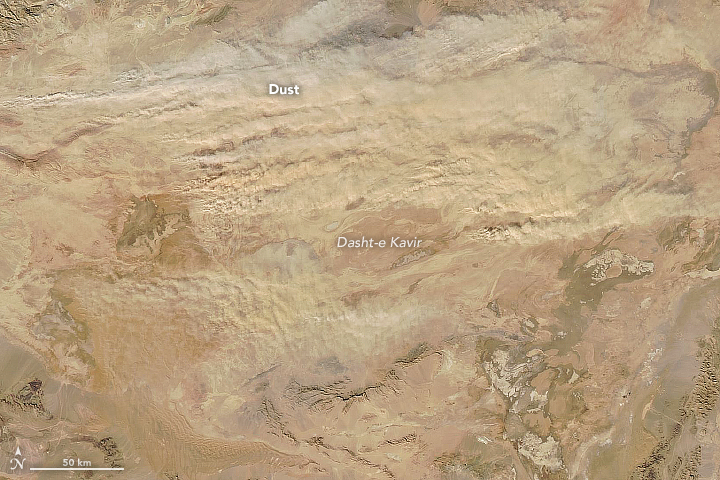
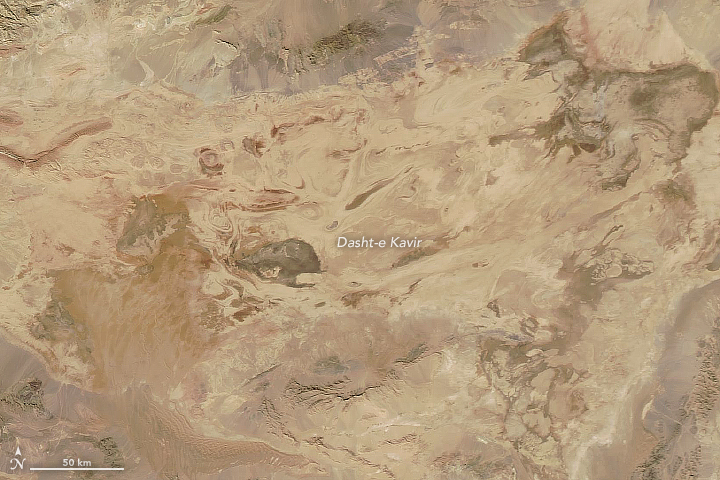
On November 25, 2017, the Moderate Resolution Imaging Spectroradiometer (MODIS) on NASA’s Aqua satellite captured this image of a dust storm in northern Iran. Winds lifted sand and dust particles from the Dasht-e Kavir (Great Salt Desert) and carried the plumes a few hundred kilometers eastward. The second image shows the same area on November 14, prior to the storm. Turn on the image comparison tool to see the difference.
As its name implies, this 48,000-square-kilometer desert is largely covered with salt flats. The dust typically stems from the basin’s western side, where ephemeral lakes and marshes dot the landscape.
Earlier this year, dust storms affected the more populated areas of southwestern Iran, damaging electrical infrastructure and knocking out power to cities in Iran’s Khuzestan province. Dust storms in the Middle East can span huge distances and affect countries far from their origin. Drought worsens the situation by making more erodible material available on the surface, which is then lofted into the air by strong winds.
NASA images by Jeff Schmaltz and Joshua Stevens, using MODIS data from LANCE/EOSDIS Rapid Response. Story by Kathryn Hansen.