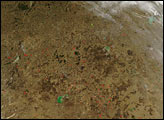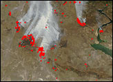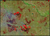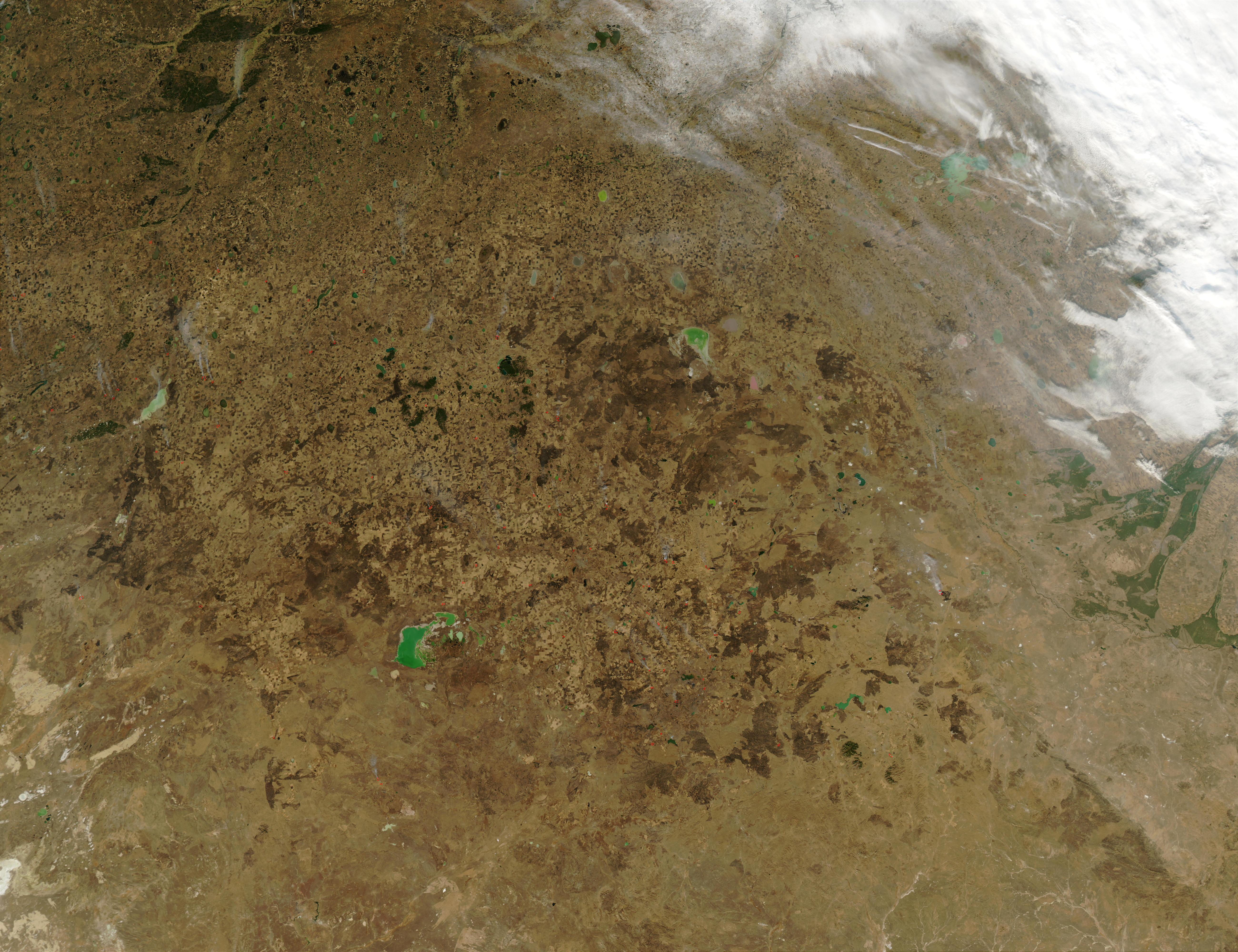
This true-color image of Kazakhstan reveals scattered fires (red dots) burning over an already widely burned landscape. Fires, probably agricultural in nature, have burned in the region on and off all summer long, and have left their dark marks all across the landscape.
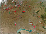
There are different kinds of burn scars visible. Hundreds, possibly thousands, of small squares and rectangles create a speckled pattern over the tan-colored landscape, especially prominent in the upper-left quadrant of the image. These small burns are best viewed in the high-resolution image. The regular, geometric shape of these burn scars is a sure sign that they are human-caused, and are probably the result of numerous small farmers using fire to clear land for farming or to regenerate pasture for grazing animals. Other larger, more irregular burn scars are visible, (for example, just above image center) and these may be natural grassland fires, or agricultural burns that got out of control.
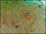
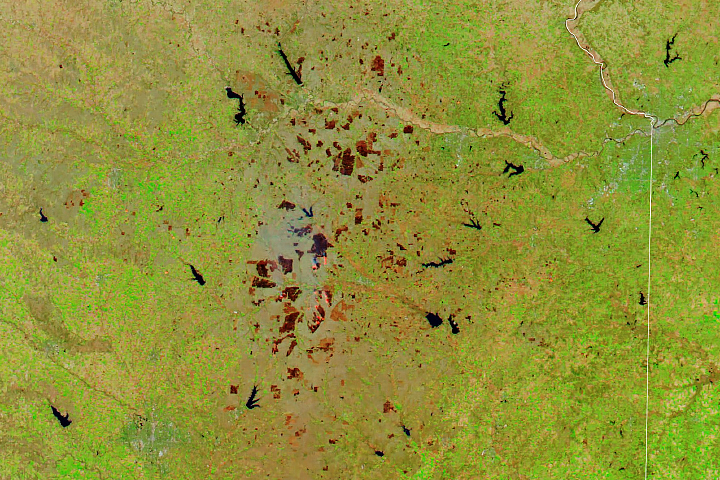
In areas of already low vegetation (this region receives less than 14 inches of rainfall a year) it can sometimes be hard to distinguish burned areas from naturally bare soil or low vegetation. In these cases, false-color image analysis can be useful. In the false-color images, naturally bare soil is pinkish, vegetation is green, burned areas are deep reddish brown, and water is dark blue or black.
These images were acquired by the Moderate Resolution Imaging Spectroradiometer on the Aqua satellite on October 22, 2002.
Image courtesy Jacques Descloitres, MODIS Rapid Response Team at NASA GSFC