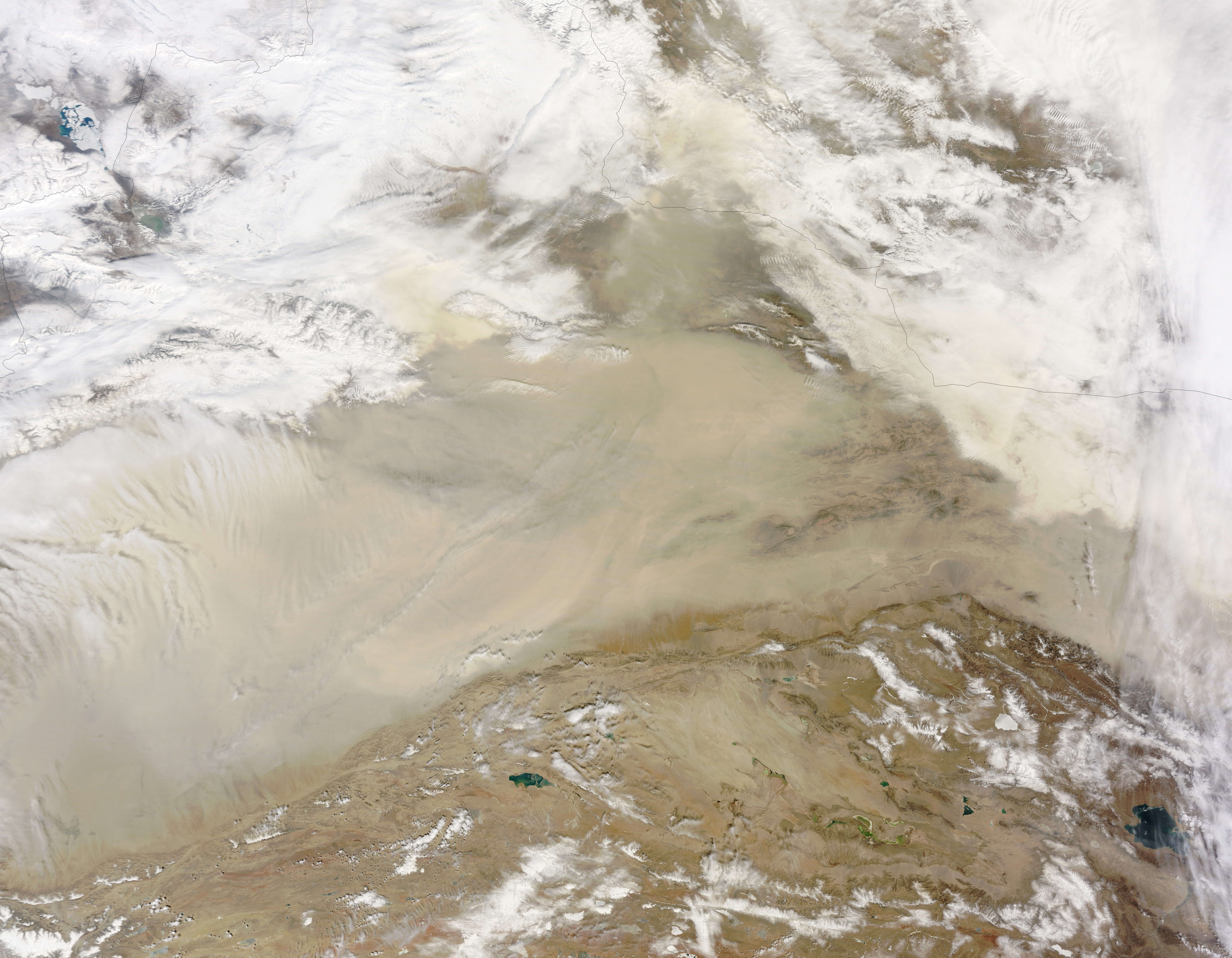
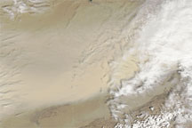
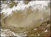
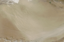
Spring and summer are the prime seasons for dust storms in China’s Taklimakan Desert. On April 1, 2015, the Moderate Resolution Imaging Spectroradiometer (MODIS) on NASA’s Terra satellite captured this natural-color image of dust from the desert and from the greater Tarim Basin.
The Tarim is bordered by the Tian Shan mountains to the north (obscured by clouds in this image) and the Kunlun Shan mountains to the south. The basin opens up on its east side, but that’s not necessarily an escape route for dust. The prevailing low-altitude winds come from the east, keeping most dust below 5 kilometers—about the height of the mountain ranges—and confined to the desert.
In spring, however, strong surface winds can lift dust up to heights of about 10 kilometers (6.2 miles). These particles can then be carried by higher-altitude winds from the west until they blow across China and sometimes even across the Pacific.
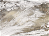
Most of the dust that reaches East Asia gets its start in either the Taklimakan, Badain Juran, Tengger, or Gobi deserts. (Check out this dust storm on March 27, 2015, in the Gobi Desert). These storms can lead to air quality issues in populated areas downwind. According to news reports, Beijing was enveloped in dust from the Gobi desert in late March 2015. This storm, the first of the year for Beijing, helped push the air quality index to 895—far above the “maximum” level of 500.
NASA image by Jeff Schmaltz, LANCE/EOSDIS Rapid Response. Caption by Kathryn Hansen.


