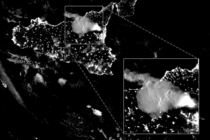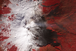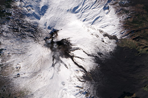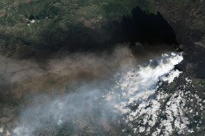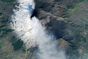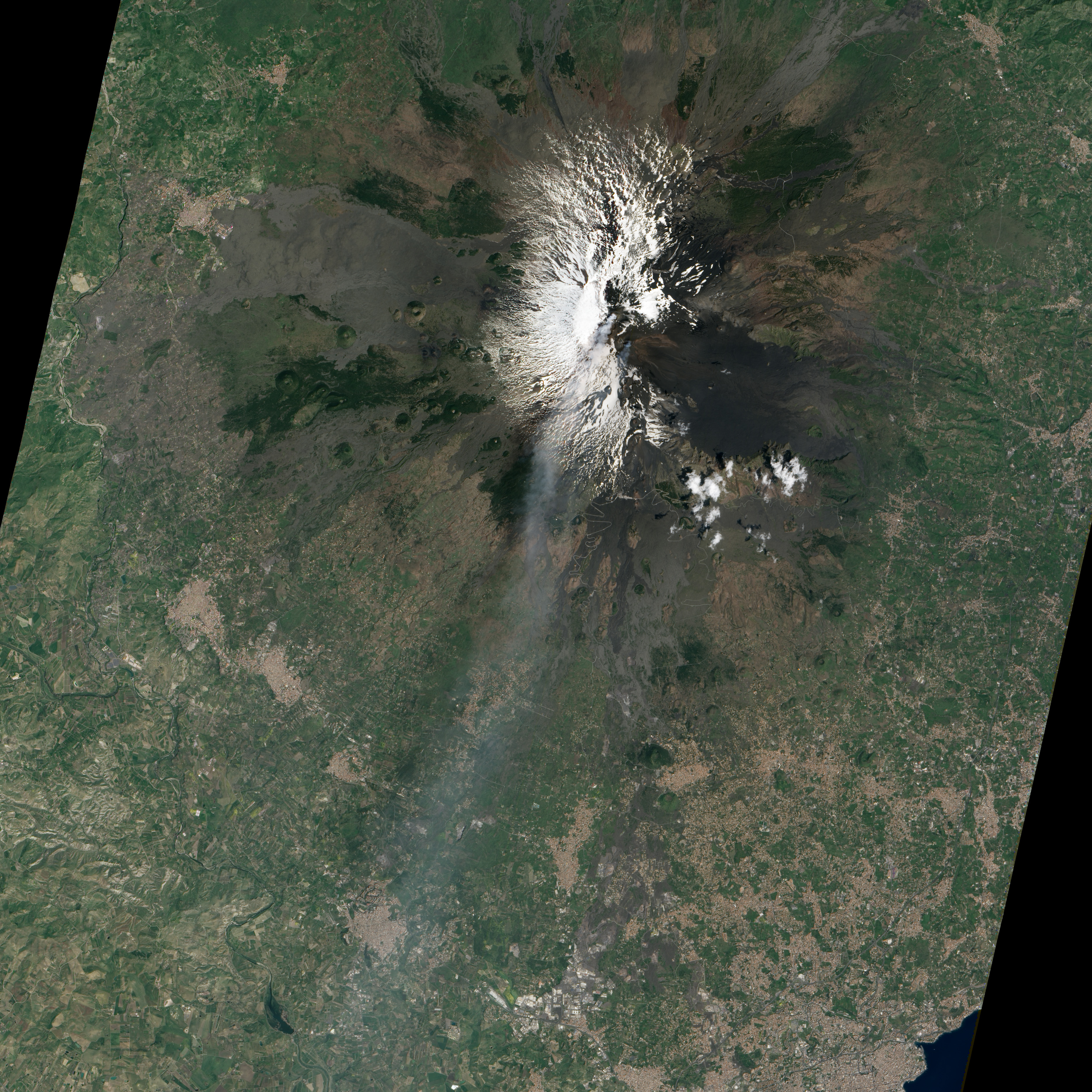
On April 18, 2013, the Advanced Land Imager (ALI) on the Earth Observing-1 (EO-1) satellite observed activity on Mount Etna in Sicily. Ash and volcanic gases rose from craters near the summit; snow rested on the western slopes; and fresh lava flows leant a dark brown hue to the mountainside near the New Southeast Crater.
Early in April, Etna had appeared more whimsical, blowing smoke rings composed not of actual smoke, but of steam, volcanic gases, and some volcanic ash. Then ash emissions and Strombolian eruptions started on the evening of April 16 and continued through the following day, according to the Etna Observatory. On the morning of April 18, when the ALI image was acquired, the intensity and frequency of eruptions had increased and the volcano was in the middle of its eleventh paroxysm of 2013.
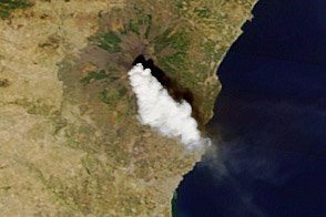
On April 20, yet another paroxysm began at New Southeast Crater. It was the twelfth of 2013, and the thirty-seventh since the start of the current series of eruptive activity. By April 20, lava fountains reached 800 to 1,000 meters (2,600 to 3,300 feet) into the sky, and a column of gas and volcanic ash blew eastward away from the volcano.
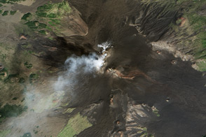
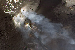
Located roughly 25 kilometers (15 miles) north-northwest of Sicily’s second-largest city, Mount Etna is a stratovolcano composed of layers of rocks, lava, and volcanic ash left by earlier eruptions. The summit reaches an altitude of 3,330 meters (10,925 feet) above sea level. People have lived around Etna for millennia, so scientists have one of the longest documented records of activity of any volcano in the world—dating back to 1500 B.C.
NASA Earth Observatory image by Jesse Allen and Robert Simmon, using EO-1 ALI data from the NASA EO-1 team. Caption by Robert Simmon.