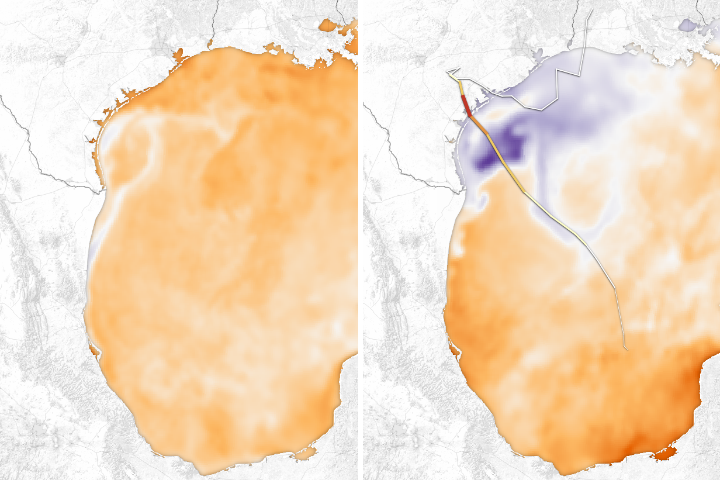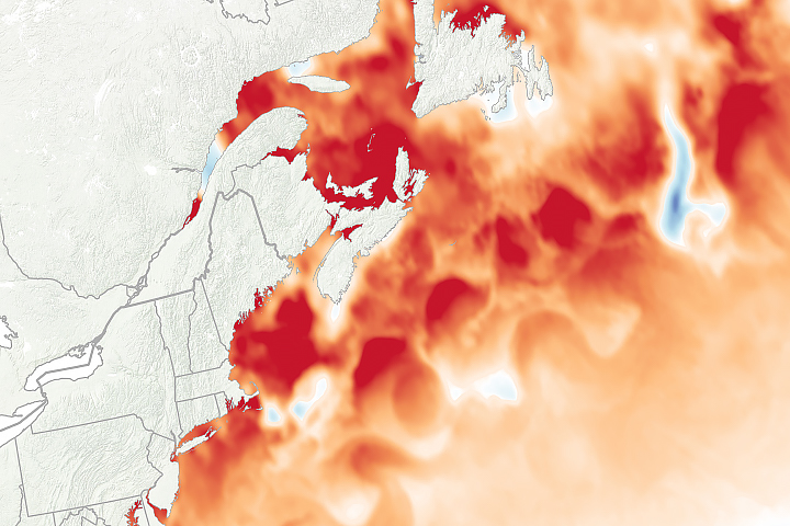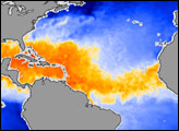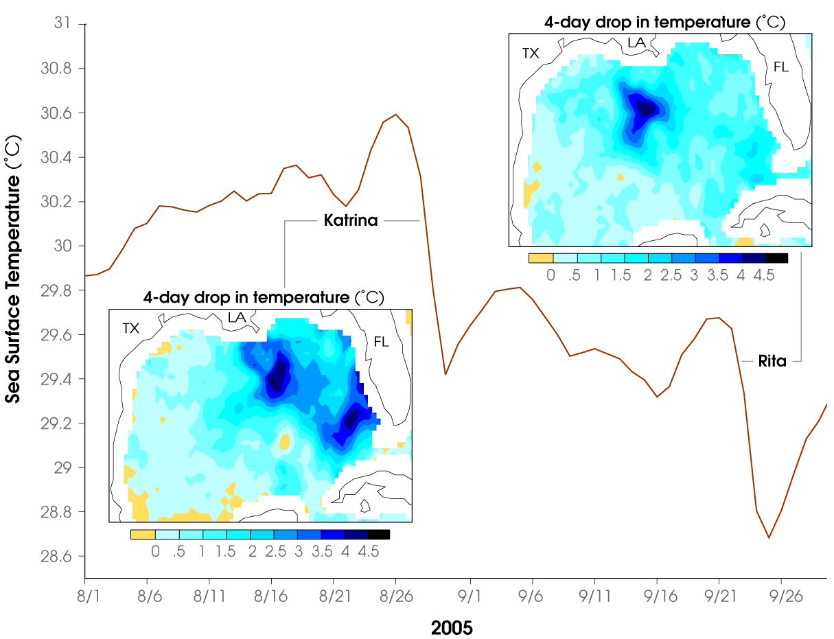
It is well known that a warm ocean favors the development of hurricanes. Less well known is the fact that the passage of a hurricane over the ocean can cause the upper ocean to cool substantially, which can influence subsequent hurricane development. In late summer 2005, the extremely warm sea surface temperatures in the Gulf of Mexico fueled two powerful Hurricanes: Katrina and Rita. According to data from NASA's Tropical Rainfall Measuring Mission (TRMM) satellite, each of these storms cooled water temperatures more than 4 degrees Celsius in places along their paths, and cooled the entire Gulf by about 1 degree. The Gulf was so warm, however, that water temperatures quickly rebounded, and remained high enough to support hurricanes until well into the middle of October.
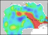
The red line in the graphic above shows the evolution of average sea surface temperature in the Gulf of Mexico between August 1 and September 30, 2005. Steep drops in the line mark the passage of Katrina and Rita through the Gulf; the passage of each hurricane caused the water temperature in the entire Gulf to drop about 1 degree. The inset graphics show the drop in temperature across the Gulf over the four-day period prior to each storm's landfall. Yellow areas show where water didn't change temperature, while shades of blue show where the passing of the hurricanes cooled the water more than 4 degrees in places. Data are from the TRMM Microwave Imager.
Hurricanes cool the ocean by acting like "heat engines" that transfer heat from the ocean surface to the atmosphere through evaporation. Cooling is also caused by upwelling of cold water from below due to the suction effect of the low-pressure center of the storm. Additional cooling may come from cold water from raindrops that remain on the ocean surface for a time. Cloud cover may also play a role in cooling the ocean by shielding the ocean surface from direct sunlight before and slightly after the storm passage. All these effects can combine to produce a dramatic drop in sea surface temperature over a large area in just a few days.
NASA image courtesy Jenny Wu and Bill Lau, Climate and Radiation Branch, NASA-GSFC.