High-resolution Landsat Images |
|||
|
|||
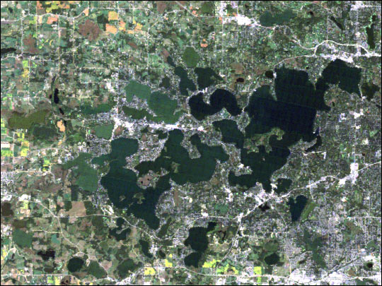
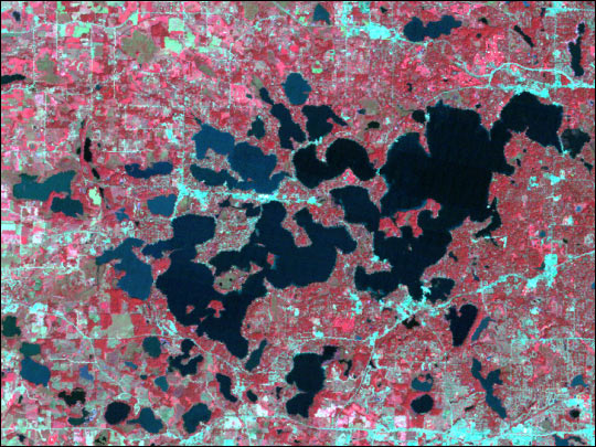
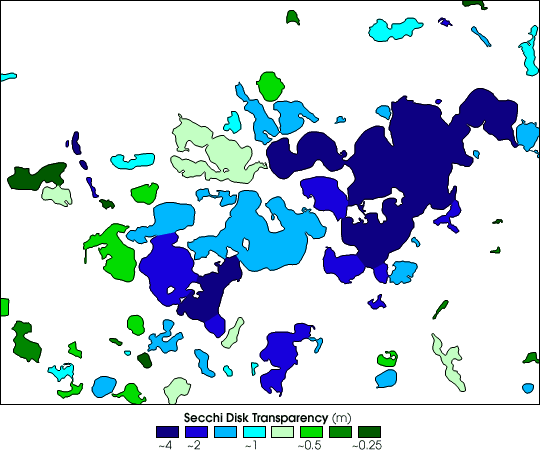
| Satellite imagery enables the measurement of Water Quality over a much wider area than hand sampling using Secchi disks. These images show Landsat image data and derived water quality measurements for Lake Minnetonka, Minnesota. The true-color image is similar to what is seen by the human eye, the false-color image incorporates data in near-infrared wavelengths, and the water quality image shows calculated Secchi disk transparency. Dark blue indicates high water quality, light green moderate water quality, and dark green poor water quality. (Images courtesy Upper Great Lakes Regional Earth Science Applications Center) | |||