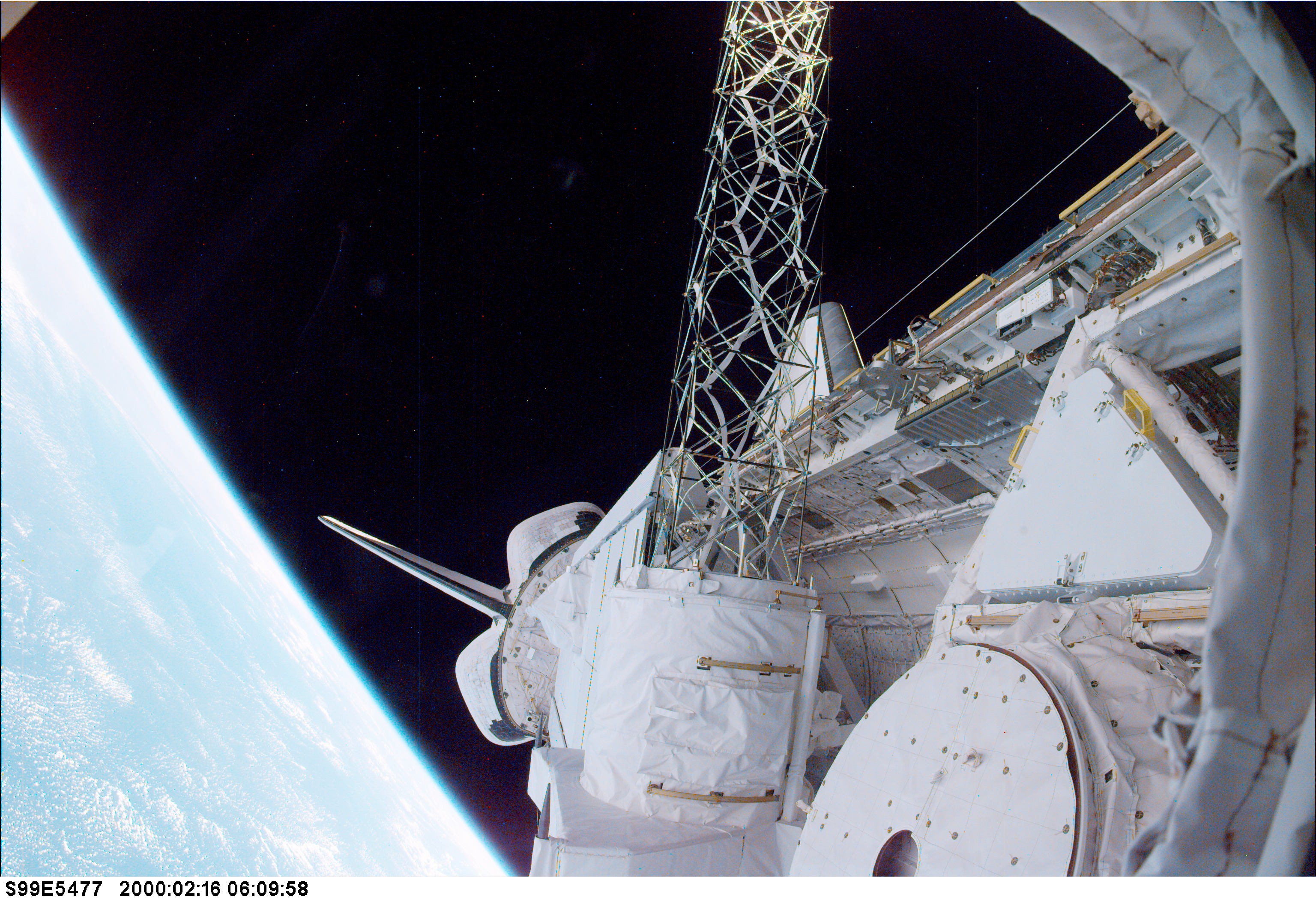
(NASA photograph STS99-E-5477.)
The crowning piece of the radar mapping efforts came in February 2000 on the shuttle Endeavour. Conceived by scientists at NASA’s Jet Propulsion Laboratory—in collaboration with the U.S. National Imagery and Mapping Agency (now the National Geospatial-Intelligence Agency) and the German and Italian space agencies—the Shuttle Radar Topography Mission (SRTM) collected 9 terabytes (9 trillion bytes) of data on the shape and features of the surface of the Earth.
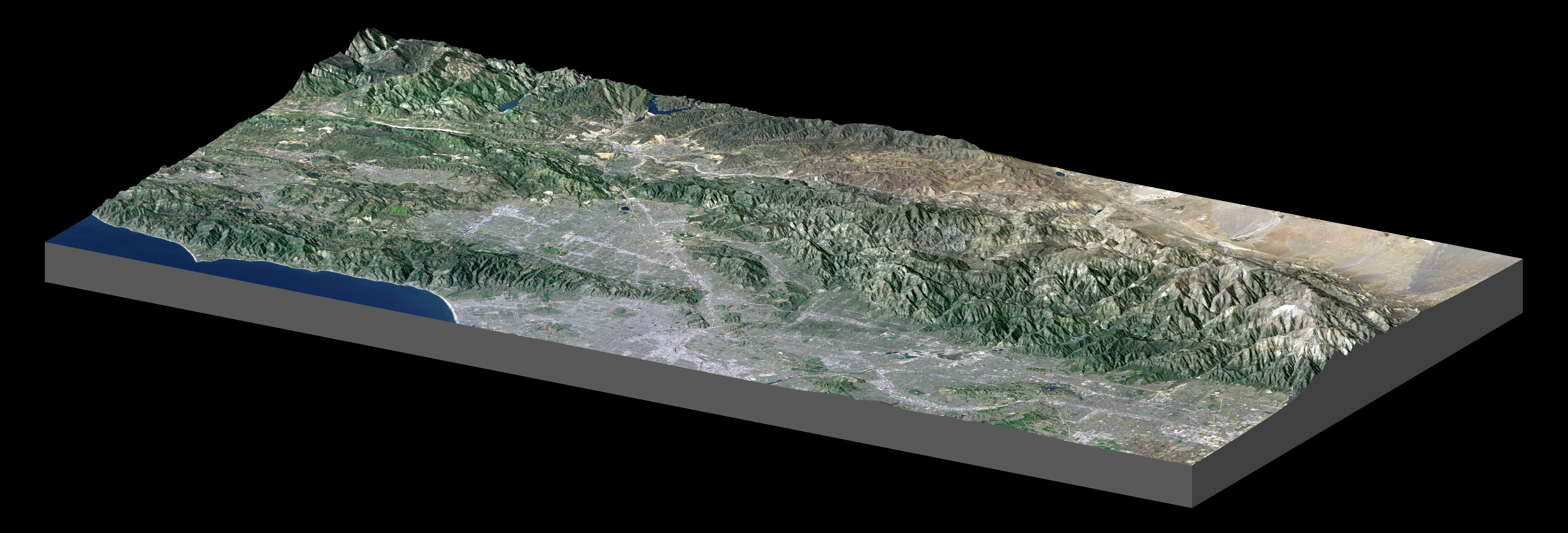
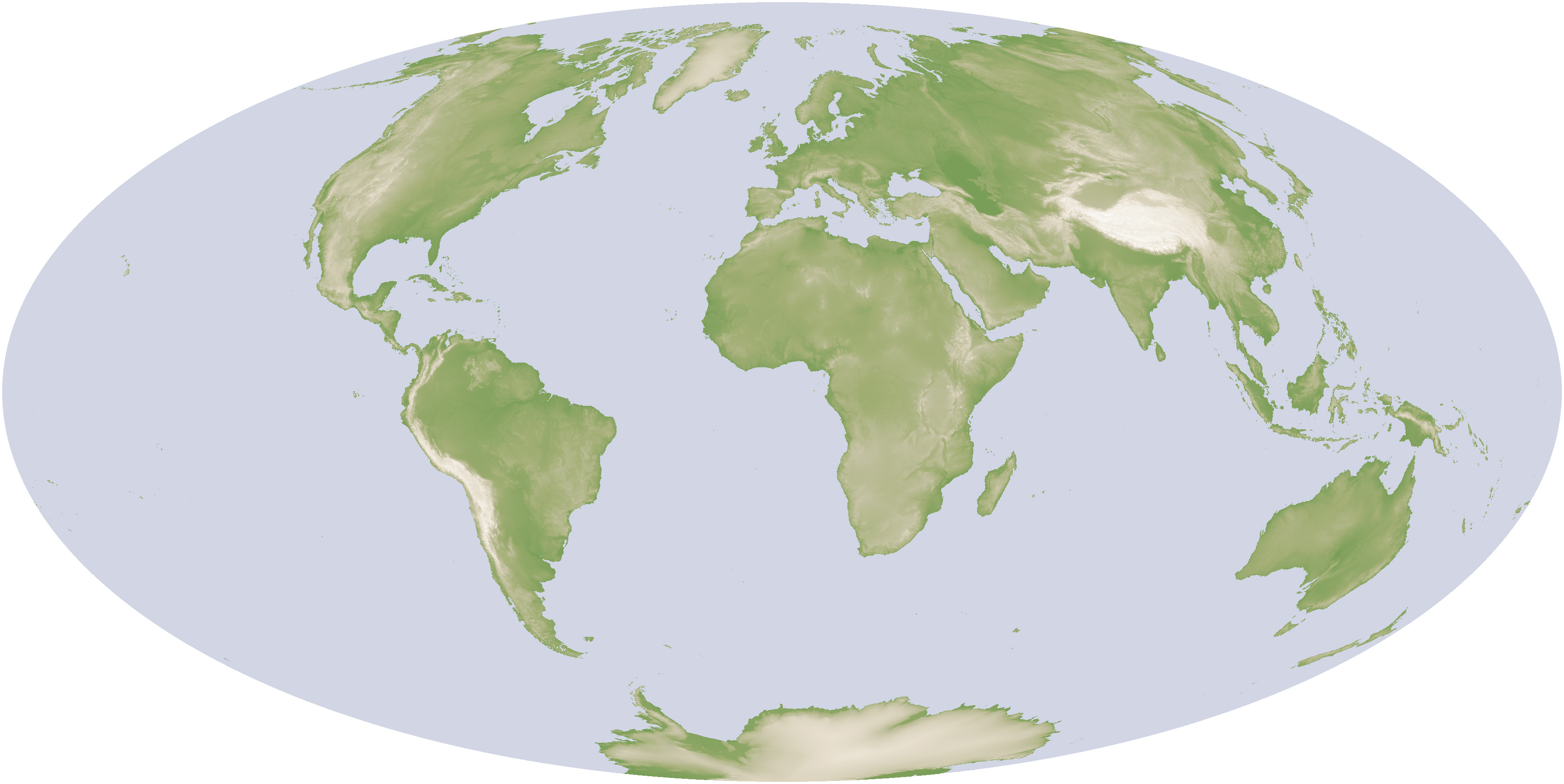
Map of Los Angeles (PIA04967) from SRTM, and global topography map based on SRTM, Radarsat, and USGS data. [NASA Earth Observations (NEO).]
That SRTM radar data became the basis for the first high-resolution map of Earth’s topography. It was a uniform, standardized look at land elevation that offered a three-dimensional view of our world.
The middle image, a shaded relief map of the Los Angeles and the nearby mountains, demonstrates the powerful combination of SRTM elevation data with natural- and false-color visible imagery from the Landsat 7 satellite (acquired May 4, 2001). Downtown Los Angeles gives way to the San Gabriel Mountains, the Sam Andreas Fault, and the Mojave Desert. At the full image resolution, features on the ground as small as 15 meters (49 feet) across can be distinguished.
The third image is a digital elevation model of the entire Earth. Mappers and Geographic Information Systems professionals around the world have come to rely on SRTM data, and the U.S. Geological Survey estimates that an SRTM-derived product is downloaded from its servers every second of the day.
