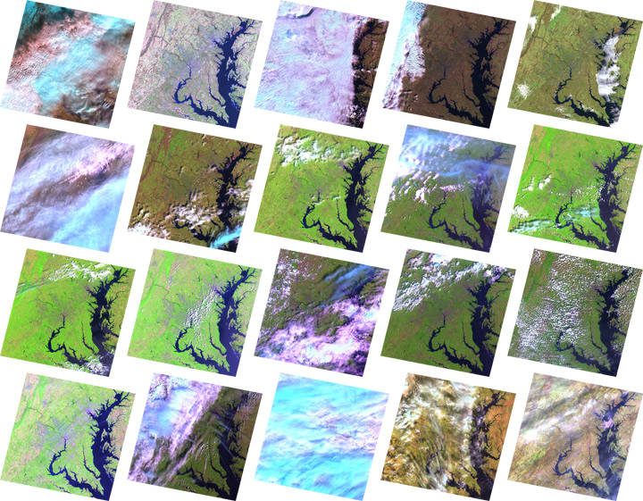

“Normally when a person wants a Landsat scene,” says Dwyer, “they go to a website, they start a geographic search, they restrict it to a certain time of year, and the system returns a bunch of browse images [small versions of the full image]. The user then looks through them all and decides which one is optimal for their purpose.”

For a global picture circa 2005, an analyst would have to repeat this process more than 9,000 times, sorting through the roughly 500,000 images captured by Landsat 5 and Landsat 7 between 2004 and 2007. “A person just can’t do that,” says Dwyer.
Instead, NASA scientists developed a sophisticated search engine that sorted through the archive and found images that were the best compromise among various criteria set by the scientists—for example, season, cloud cover, or satellite preference.
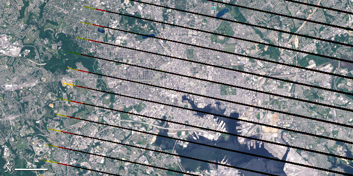
Even with the hundreds of thousands of images available in the USGS archive, though, getting an image of every land surface on Earth wasn’t easy. In 2003, a part of the Landsat 7 sensor failed. The result was that the outside margins of all the images had stripes of missing data. “It was a real headache,” says Masek.

The back up plan was to fill in the gaps in the collection with images from the older, but still-operational Landsat 5 satellite. But Landsat 5 doesn’t have an onboard data recorder. It continuously broadcasts what it is seeing below, but it doesn’t store the images.
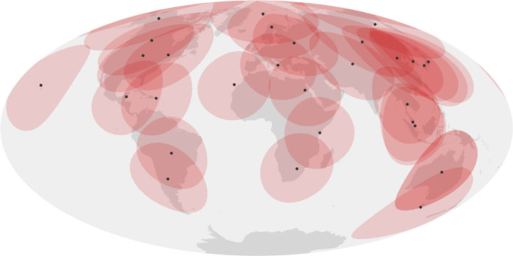
In the United States, ground stations downlink data whenever Landsat 5 passes overhead. Once the satellite passes out of communication range of U.S. ground stations, though, its images are out of reach, complicating the goal of a global image mosaic. Fortunately, U.S. stations aren’t the only ones tuning into Landsat.

“There are about a dozen international Landsat receiving stations, but we [USGS and NASA] don’t have any formal agreement with them to repatriate the data,” explains Masek. So the USGS offered the foreign stations a complete copy of the whole global data set in exchange for access to images that were within their station’s acquisition range.
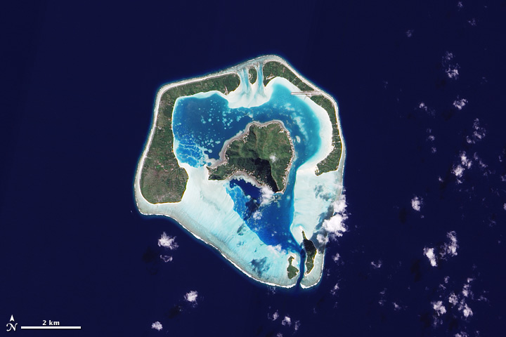
The partnerships with international ground receiving stations made the coverage nearly global. The last obstacles to creating a complete image collection of all land areas on Earth were the hundreds of tiny islands and reefs scattered across the world’s oceans.

Except over the United States, says Masek, “Landsat doesn’t acquire every image on every overpass. For the rest of the world, the satellite may only acquire a target a few times a year.” To complete the collection, the team tasked the Advanced Land Imager on NASA’s EO-1 satellite to image the smaller islands and reefs.