 |
||
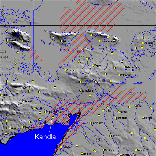
| This map shows the flooding (red lines) in Kandla, India, and the salt flats to the
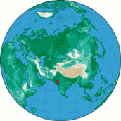
north and east. The red dot on the map at right shows the location of the flooding, adjacent to the Gulf of
Kulch. (Map by E. Anderson and R. Brakenridge, Dartmouth Flood Observatory) |
 |
|
