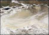
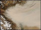
Acquired October 22, 2010, this natural-color image shows dust over the eastern half of the Taklimakan Desert.
Published Oct 22, 2010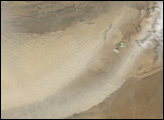
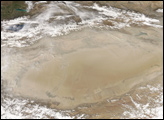
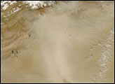
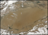
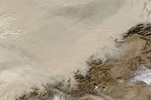
On May 10, 2007, a dust storm covered most of the Taklimakan Desert in western China. The Moderate Resolution Imaging Spectroradiometer (MODIS) on NASA’s Terra satellite captured an image of the storm at 05:50 UTC. The storm had intensified by the time the MODIS sensor on NASA’s Aqua satellite took another picture at 07:30 UTC.
Published May 10, 2007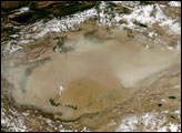

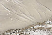
Acquired March 2, 2011, this natural-color image shows dust hovering over the Taklimakan Desert.
Published Mar 2, 2011alert message
