
A wildfire in Fresno County, California has burned more than 28,000 acres.
Published Jul 20, 2020
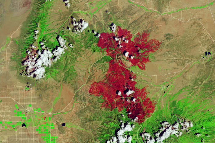
The blaze is the largest in Arizona this year and the largest in the United States right now.
Published Jun 16, 2020Image of the Day Heat Land Fires Human Presence Remote Sensing
Landsat 8 satellite captured this image of the Jaroso fire burning in northern New Mexico in June.
Published Jun 24, 2013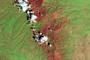
Landsat helps direct restoration efforts in at-risk areas.
Published Sep 11, 2013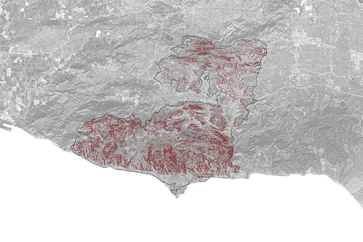
A NASA project is providing maps of satellite data to emergency response teams during the Woolsey Fire.
Published Nov 16, 2018
Temperature, humidity, and winds contributed to the rapid spread of fire in Lake County, about 100 miles northwest of Sacramento.
Published Jun 27, 2018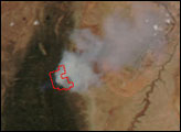
Dry, hot conditions in Colorado helped lead to the state’s third-largest wildfire in history.
Published Jul 13, 2018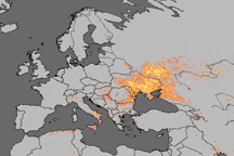
Fire is ubiquitous, both a tool and a destructive force. Like plants, fire grows and wanes in seasons.
Published Dec 31, 2008
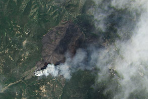
This false-color image illustrates the extent of the Station Fire in southern California.
Published Sep 15, 2009
This image from June 9, 2011, shows Arizona’s Wallow Fire in the White Mountains near the border with New Mexico.
Published Jun 10, 2011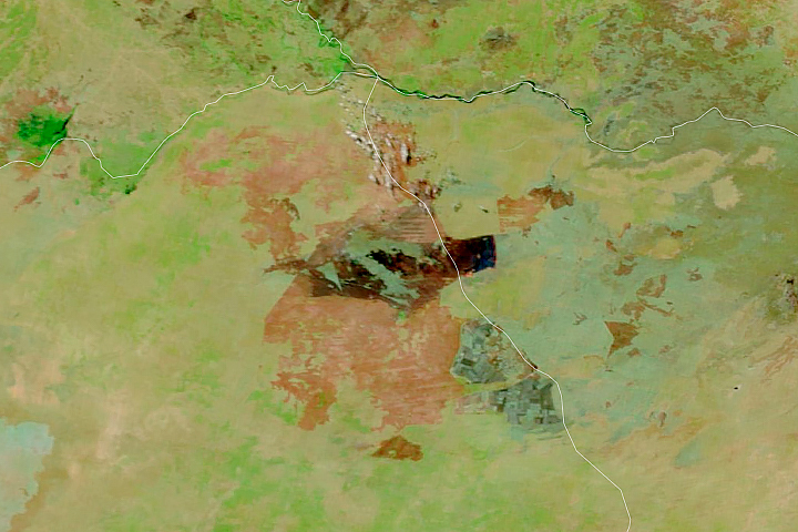
Satellites detect fires that are not necessarily being reported. Scientists are taking note and compiling global views of fire behavior and evolution.
Published Oct 22, 2018alert message
