Acquired August 14, 2011, and August 11, 2010, these false-color images compare conditions along the Missouri River, which flooded in 2011.
Published Aug 15, 2011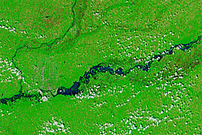
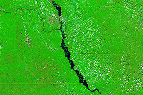
Acquired May 30, 2011, and June 27, 2011, these false-color images show the advance of flood waters down the Missouri River over a four-week interval.
Published Jun 28, 2011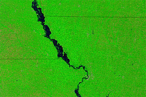
Acquired August 2, 2011, and August 3, 2010, these false-color images compare conditions along part of the Missouri River, which flooding in the summer of 2011.
Published Aug 5, 2011
This color-coded map shows rainfall anomalies in the western United States in May 2011. Rainfall in May contributed to record runoff into the Missouri River Basin in June 2011.
Published Jul 24, 2011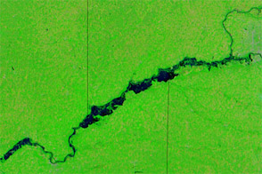
Acquired June 20, 2011, and June 29, 2010, these false-color images compare conditions along the Missouri River, which flooded in 2011.
Published Jul 1, 2011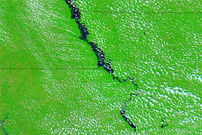
Acquired June 23, 2011, and July 4, 2011, these false-color images compare flood conditions along the Missouri River. Flooding spread noticeably between these dates.
Published Jul 5, 2011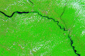
Acquired July 25, 2011, and July 17, 2010, these false-color images compare conditions along the Missouri River, which flooded in 2011.
Published Jul 26, 2011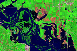
Acquired August 17, 2011, and August 1, 2011, these false-color images document the slow retreat of flood waters along the Missouri River near Blair, Nebraska.
Published Aug 23, 2011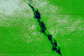
Acquired June 25, 2011, and June 26, 2010, these false-color images compare conditions of the Missouri River along the Nebraska border.
Published Jun 27, 2011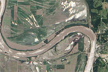
Acquired June 19, 2010, this natural-color image shows flooding along the banks of the Missouri River near the town of Glasgow.
Published Jun 22, 2010