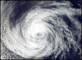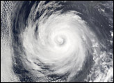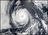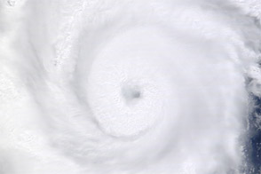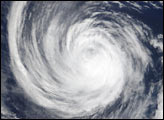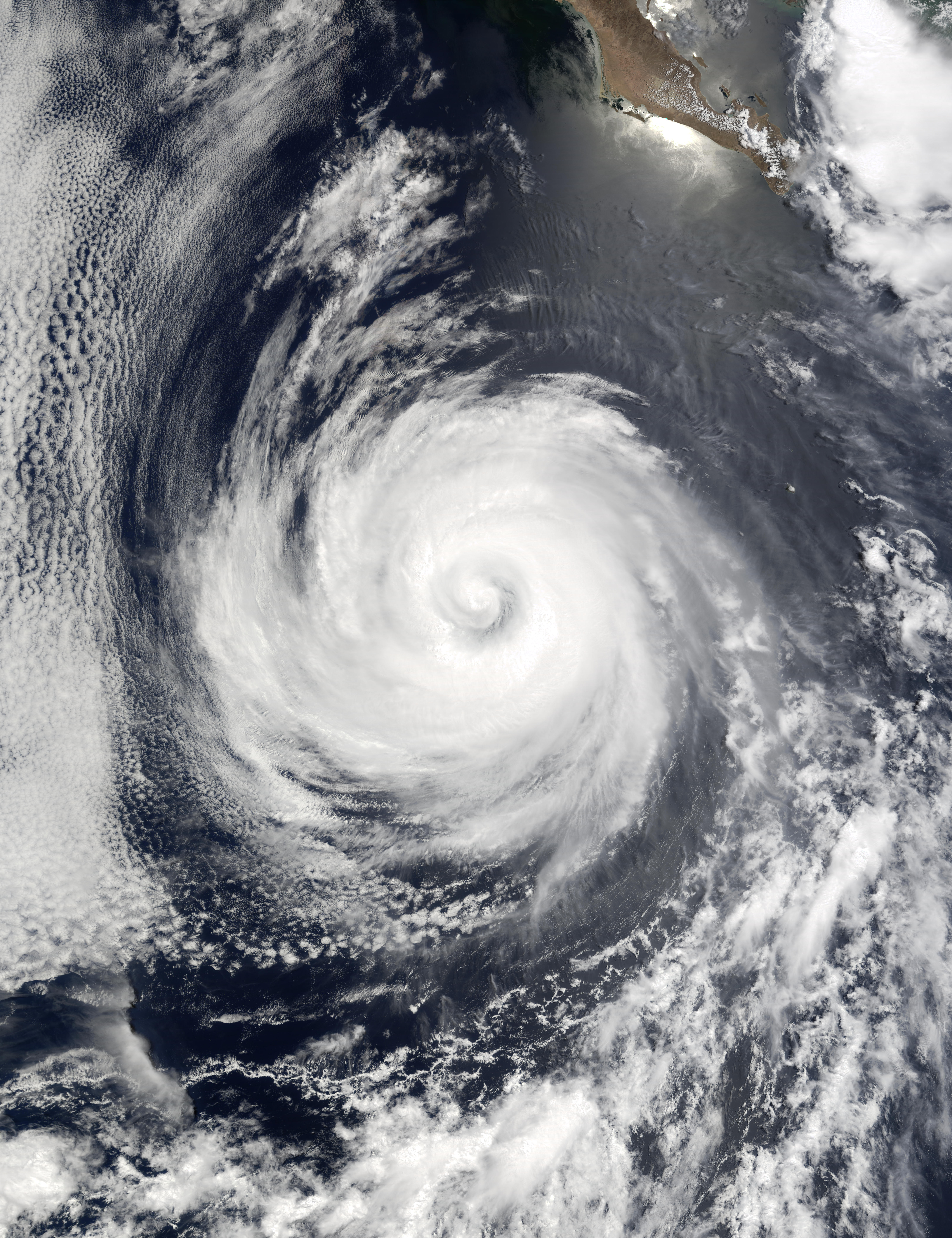
As recently as July 23, 2002, Hurricane Douglas was a Category 2 hurricane, with winds as high as 90 knots (over 100 miles per hour). As of July 24, Douglas had dropped back to Category 1 status as it moved away from the Baja California Peninsula (seen at upper right) in the eastern Pacific Ocean. The storm is predicted to continue moving westward over the next 24 hours and should weaken as it moves over cooler waters. This image was acquired by the Moderate Resolution Imaging Spectroradiometer (MODIS) on the Terra satellite on July 23, 2002.
Image courtesy Jacques Descloitres, MODIS Land Rapid Response Team at NASA GSFC