The Earth Observatory has published its last Image of the Day on this website. Please join us on our new home at science.nasa.gov/earth/earth-observatory.
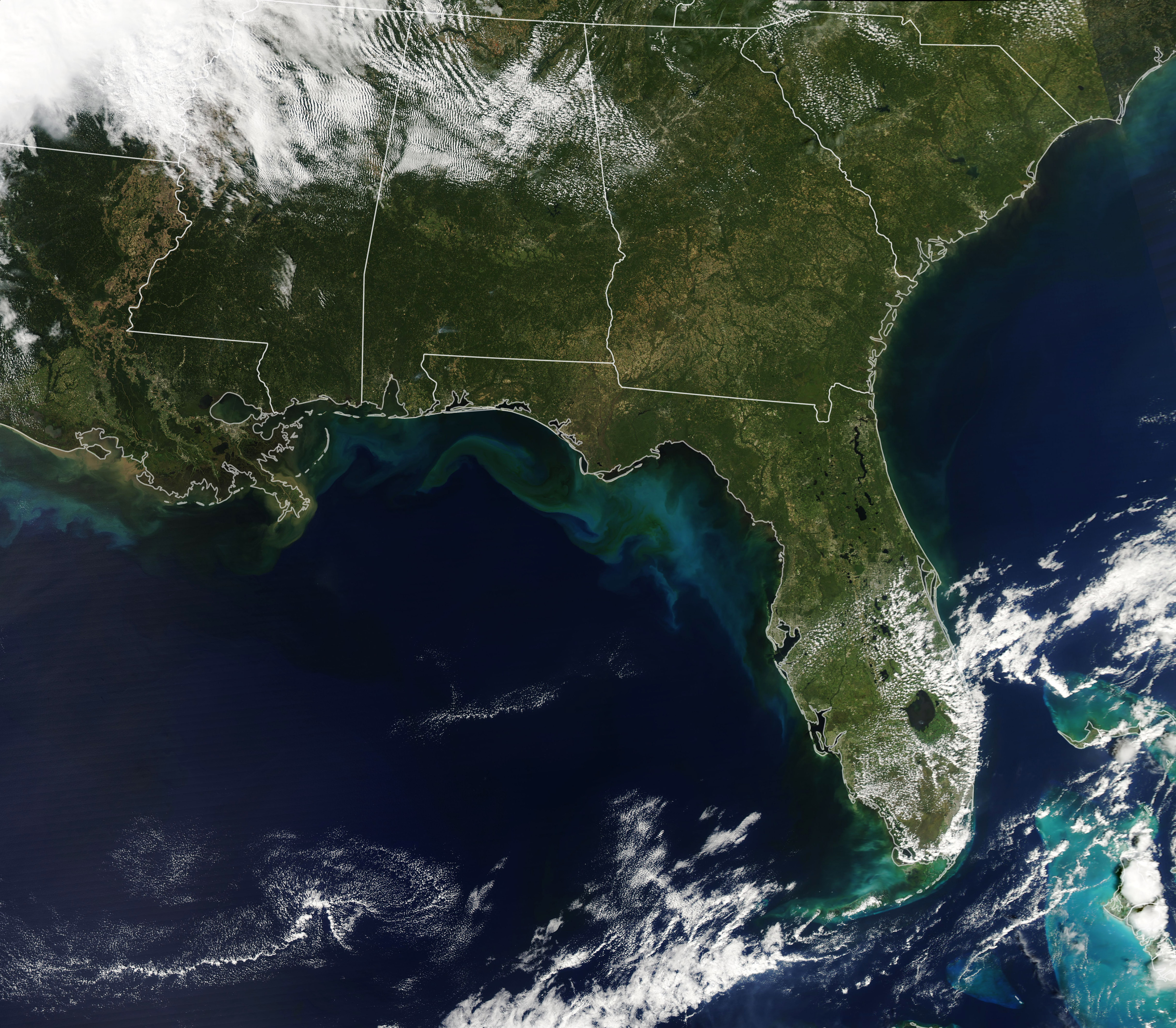
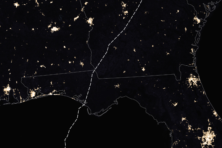
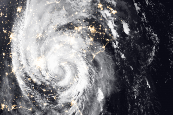
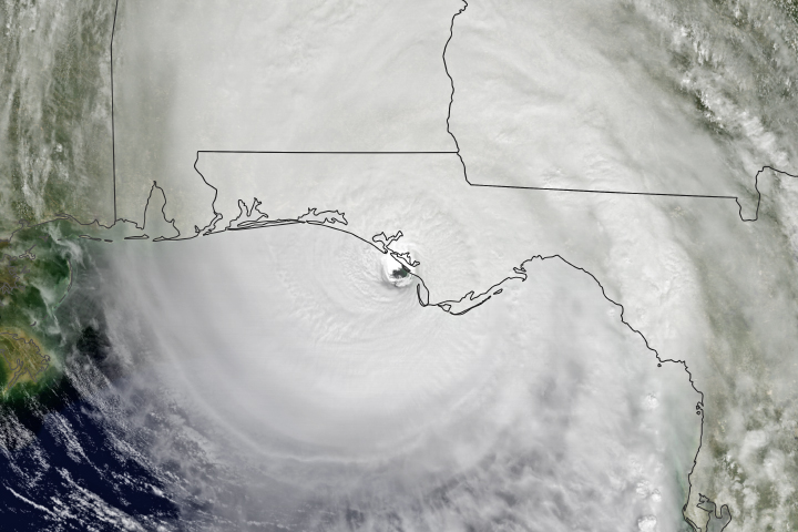
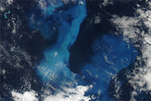
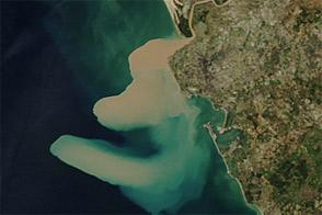
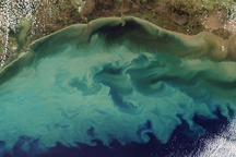
The Moderate Resolution Imaging Spectroradiometer (MODIS) on NASA’s Aqua satellite acquired this natural-color image of seafloor sediment and river outflows (and possibly plankton) discoloring the water along the Gulf Coast of Florida and Alabama. The satellite passed over the area in the early afternoon on October 13, 2018. The sediment and other debris was stirred up by the churning action of wind and waves as Hurricane Michael tore through the area on October 9-10.
NASA Earth Observatory image by Lauren Dauphin, using MODIS data from NASA EOSDIS/LANCE and GIBS/Worldview. Caption by Mike Carlowicz.