The Earth Observatory has published its last Image of the Day on this website. Please join us on our new home at science.nasa.gov/earth/earth-observatory.
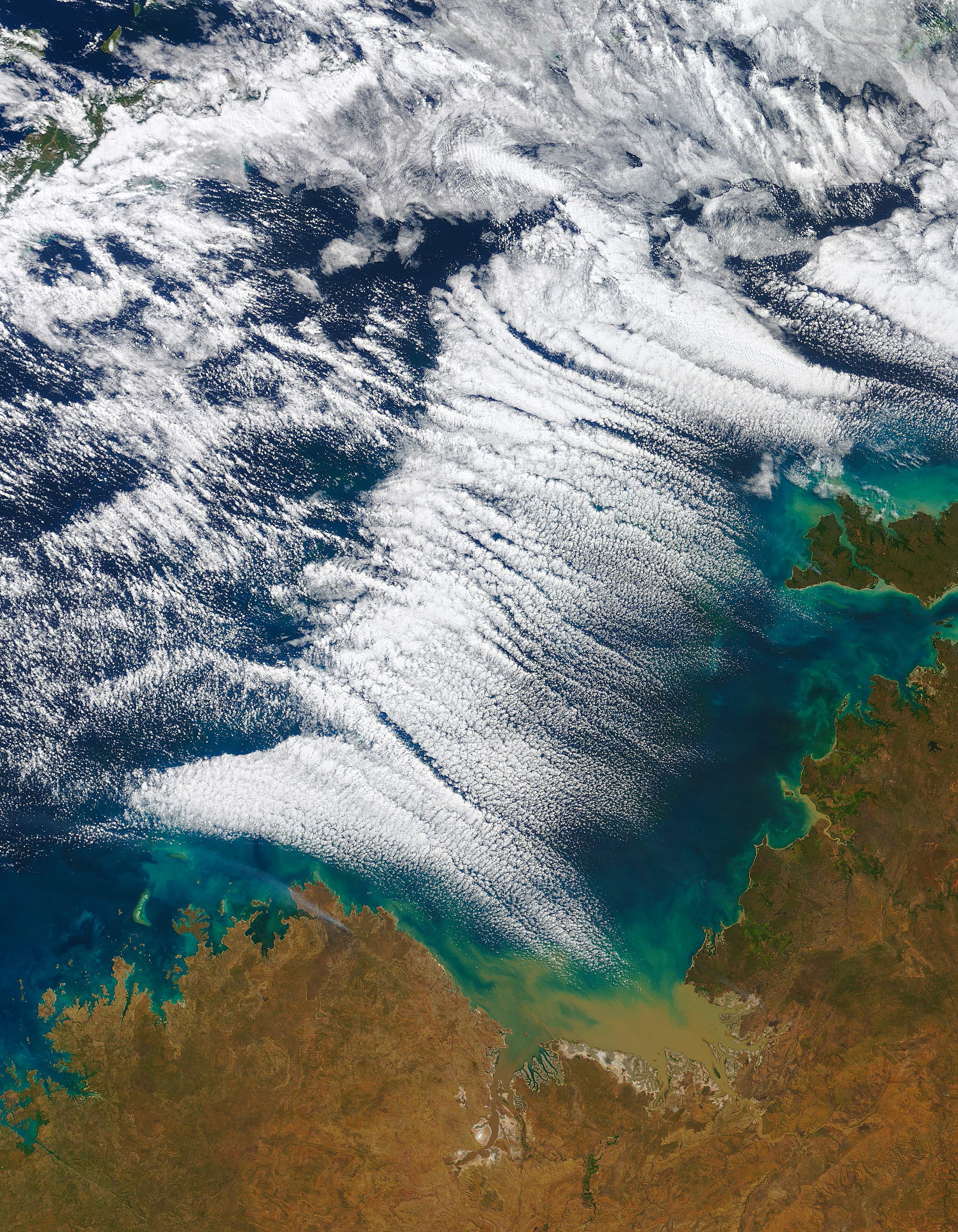
On July 15, 2016, the Moderate Resolution Imaging Spectroradiometer (MODIS) on NASA’s Terra satellite acquired this natural-color image of cloud streets—long parallel bands of cumulus clouds—off the northern coast of Australia.
Cloud streets typically form when cold air blows over warmer waters. To transport the heat away from the sea surface, columns of heated air called thermals naturally rise through the atmosphere. The air masses rise until they hit a warmer air layer (temperature inversion), which acts like a lid. The rising thermals then roll over and loop back on themselves, creating parallel cylinders of rotating air. On the upper edge of these cylinders of rising air, clouds form. Along the downward side (descending air), skies are clear.
According to the Australian Bureau of Meteorology (BoM), the air coming off the continent on July 15 was cool and dry, which explains the gap in the clouds along the coast. Farther offshore, the atmosphere picked up enough moisture from the warm Timor Sea to produce the widespread clouds.
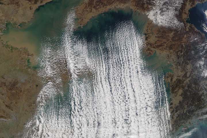
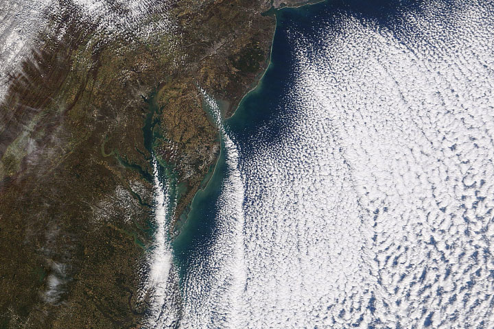
The cloud streets visible in this image are not as well defined other examples of the phenomenon. Stunning examples of cloud streets have appeared in recent years over the Atlantic and Pacific oceans, and over the Great Lakes. But the location of these clouds is unusual; according to BoM, cloud streets are often seen over land in Australia’s Northern Territory, but are not as common offshore.
NASA image by Jeff Schmaltz, LANCE/EOSDIS Rapid Response. Caption by Kathryn Hansen.