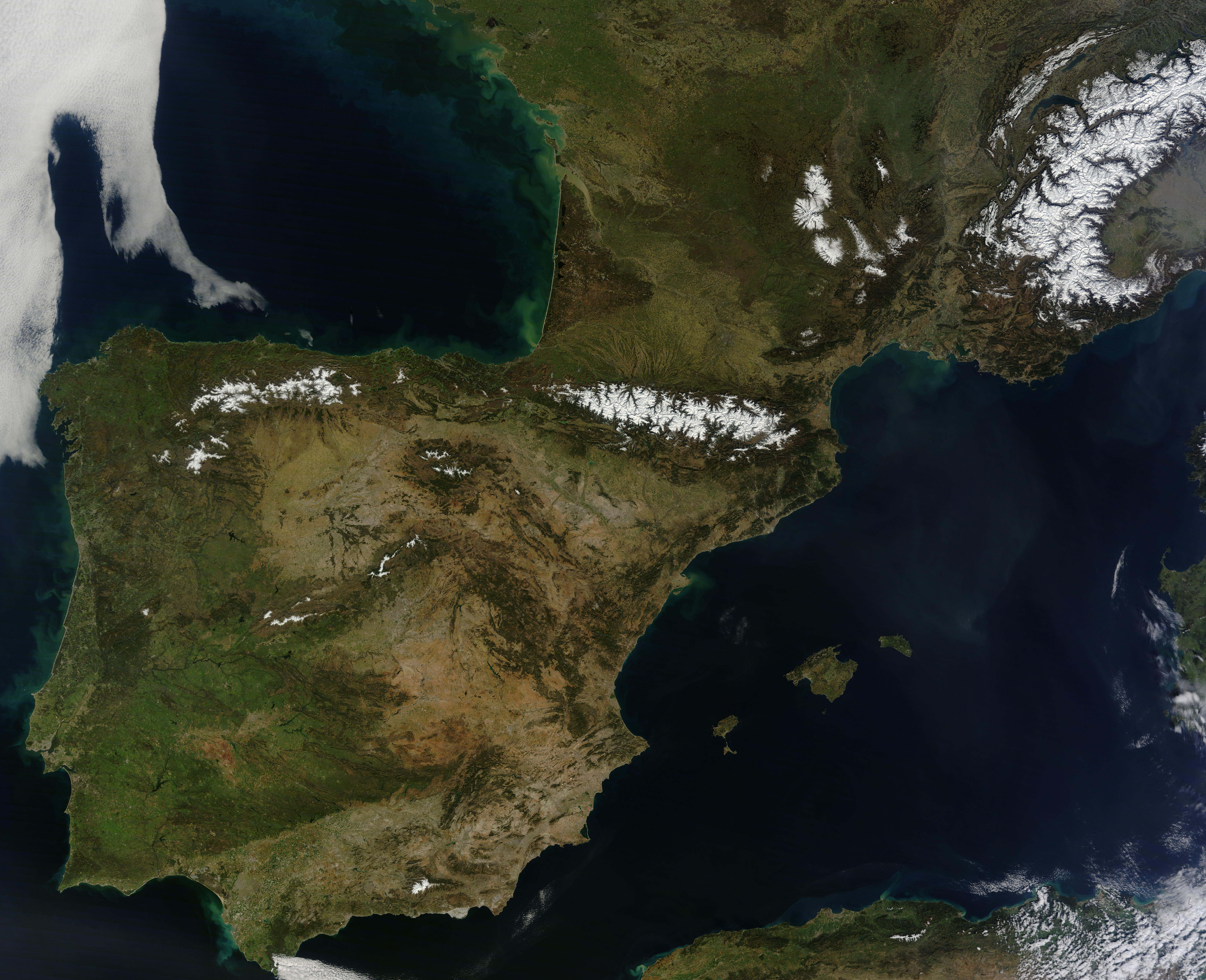
Rarely do weather patterns and satellite overpass schedules align to provide cloud-free views of Western Europe in the spring. However, a high-pressure pattern kept skies spectacularly clear over the Iberian Peninsula and east into France and Germany as the Moderate Resolution Imaging Spectroradiometer (MODIS) on NASA’s Terra satellite passed over on March 8, 2014. The cloud-free area began to emerge on March 5 and persisted through March 11.
This unobstructed view of Spain, Portugal, Andorra, and southern France exposed a variety of natural features. Meseta Central, the broad mountainous plateau at the center of the Iberian Peninsula, appears brown compared to the greener coastal lowlands to the west. Near the center of the image, the snow-capped Pyrenees Mountains serve as a natural barrier between France and Spain. The Cantabrian Mountains, another range in northern Spain, are visible to the west of the Pyrenees. The snow-covered areas to the north are the highlands of France’s Massif Central.
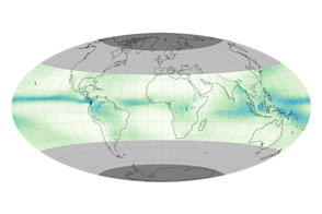
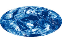
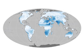
The amount of cloud cover—and changes in cloudiness over time—are of interest to climate scientists because clouds can have a warming or cooling influence, depending on their altitude, type, and when they form. However, as University of Girona and University of Barcelona researchers pointed out in a study published in Theoretical and Applied Climatology, pinning down long-term trends in cloudiness over the Iberian Peninsula remains a challenge. Two of three satellite-based records of cloudiness indicated a decreasing trend in cloudiness between 1984 and 2002, while the third showed an increase.
NASA image courtesy Jeff Schmaltz, LANCE/EOSDIS MODIS Rapid Response Team at NASA GSFC. Caption by Adam Voiland.