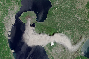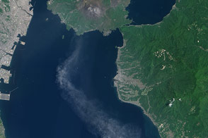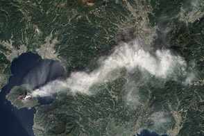

Although Japan’s Sakura-jima volcano is one of the most active in the world, it rarely makes headlines. One or two small explosions typically occur every few days, with effects no greater than a light dusting of ash on the surrounding cities.
On August 18, 2013, a large eruption sent ash 20,000 feet (6,000 meters) above Kagoshima Bay, breaking the established pattern. It was possibly the largest eruption ever from the Showa Crater, which formed in 1946.
These natural-color satellite images, collected by the Operational Land Imager on Landsat 8, compare Sakura-jima on August 19, 2013 (a day after the eruption) to the state of the volcano on April 13, 2013. The most visible change is a field of pyroclastic flow deposits that stretch up to 760 meters (2,500 feet) from Showa Crater. On the eastern (right-hand) slopes of Sakura-jima, light-colored, intertwined channels are visible on an older deposit. These are likely the result of erosion that revealed light, unweathered material or the deposit of fresh ash by short-lived streams.
NASA Earth Observatory images by Jesse Allen and Robert Simmon, using Landsat 8 data from the USGS Earth Explorer. Caption by Robert Simmon.
Sakurajima Volcano erupted more than 400 times during 2009, and frequent activity continued through 2014 and 2015.


