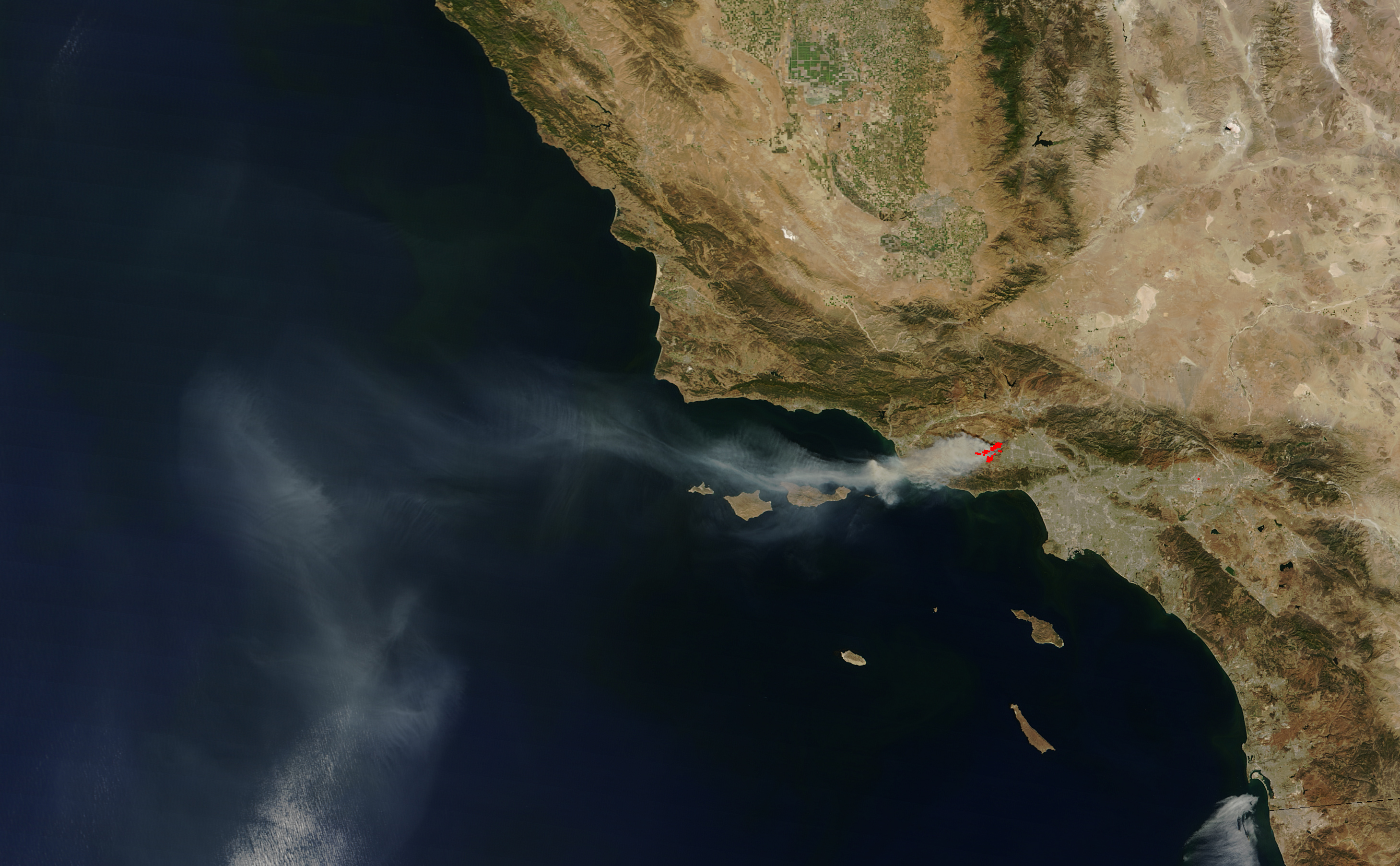
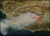
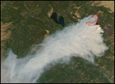
Northwest of Los Angeles, California, a brush fire exploded in late September 2005. Growing to more than 16,000 acres in around 2 days, the blaze threatened homes, natural resources, power lines, and communications equipment in the Thousand Oaks region north of the Santa Monica Mountains. This image of the Topanga Fire was captured by the Moderate Resolution Imaging Spectroradiometer (MODIS) on NASA’s Terra satellite on September 29, 2005. The actively burning part of the fire that MODIS detected is outlined in red.
Although the wind, dry conditions, and steep terrain have made the work of firefighters difficult, so far the loss of property has been low; according to news reports from Friday, September 30, one home and handful of outbuildings had been lost. Mandatory evacuations were in place, involving at least 1,500 residents of the area. Calmer winds on Friday might help firefighters gain better control of the blaze, which the National Interagency Fire Center was reporting as 12 percent contained as of Friday morning, September 30.
The image above is shown at MODIS’ maximum spatial resolution of 250 meters. The MODIS Rapid Response System provides this image at additional resolutions.
NASA image by Jeff Schmaltz, MODIS Rapid Response Team, Goddard Space Flight Center.
alert message


