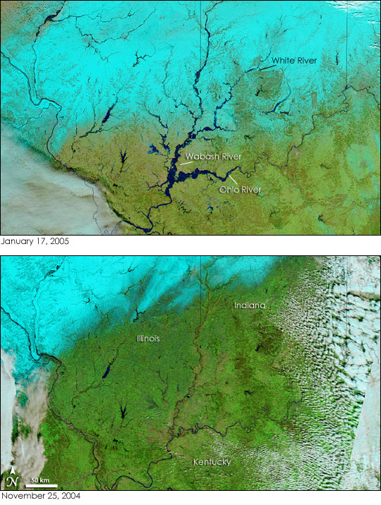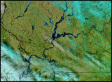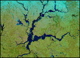


Heavy rain and snow had swollen the rivers of Indiana, Illinois, and Kentucky, pushing many past flood stage during the first two weeks of January 2005. The flooding occurred after several days of rain and snow fell on the already saturated ground of the U.S. Midwest. Since the water could not be absorbed into the soaked ground, it ran off as flood water. The storms were followed by warm temperatures, which melted the snow and produced further flooding. By January 17, some of the flooding had started to recede, but large tracts of land along the Ohio and Wabash Rivers were still under water.
The Moderate Resolution Imaging Spectroradiometer (MODIS) flying aboard NASA’s Aqua satellite captured the top image of the flooded rivers on January 17. The Ohio and Wabash Rivers are the most noticeably flooded, but many other rivers are also much larger than they were on November 25, 2004. On November 25, the Wabash River measured less than 3 pixels across in the 500-meter-resolution MODIS image (the large image provided above). On January 17, the river spanned 18 pixels at its widest point, increasing its width from approximately 1.5 kilometers to 9 kilometers. The Ohio River similarly grew to a width of 13.5 kilometers in the top image.
Floods along the Ohio are not unusual, but the timing of this flood was. The Ohio River and its tributaries often flood in the spring when winter’s snow melts and runs into regional rivers. This flood, however, occurred in the middle of the winter, which is unusual.
NASA images courtesy the MODIS Rapid Response Team at NASA GSFC. The images are available in additional resolutions.
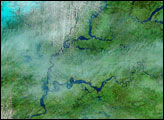
Flood water that filled the Ohio River in January 2005 reached the lower Mississippi in early February. MODIS observed high water levels on the river in Mississippi and Louisiana near Lake Pontchartrain.


