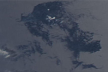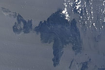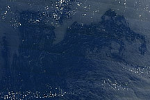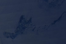

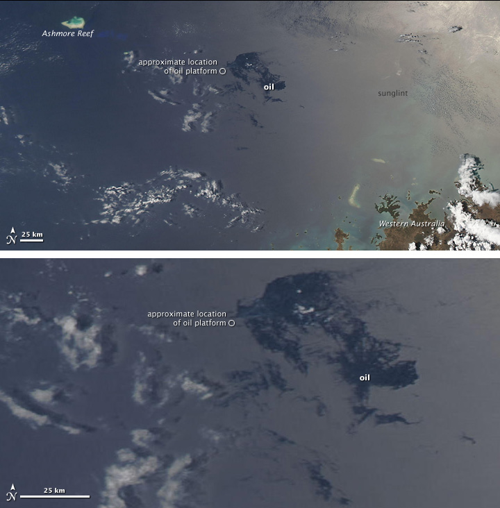
More than two months after a blowout at a newly dug oil well, crude oil and gas condensate continued to leak into the Timor Sea, between northwest Australia and Indonesia. According to news reports, the company responsible for the leaking well has tried to cap it three times without success.
This image from the Moderate Resolution Imaging Spectroradiometer (MODIS) on NASA’s Aqua satellite shows the Timor Sea on October 28, 2009. The top image shows a regional view of the area around the damaged oil platform (location indicated by a small circle), and the bottom image shows a close-up view of the oil slick. The oil slick appears as patches and streaks of dark blue compared to the surrounding ocean, which is a washed-out blue.
A sheen of oil on the surface of the ocean may only produce a slight darkening that is usually imperceptible in natural-color (photo-like) satellite images such as this one. When such slicks appear in the sunglint region of the image, however, they can become visible. The sunglint area is the part of the image where the mirror-like reflection of the Sun washes out the scene. For an explanation of why oil slicks become visible in sunglint, see the August 30 image of this event.
The large image provided above is at MODIS’ maximum spatial resolution (level of detail). Twice-daily images of the Timor Sea are available from the MODIS Rapid Response Team.
NASA image courtesy the MODIS Rapid Response Team. Caption by Rebecca Lindsey, NASA’s Earth Observatory. Oil platform location taken from SkyTruth imagery.
An oil rig in the Timor Sea began leaking oil and gas on August 21, 2009, and fuel continued to spill into the sea in mid-September.
