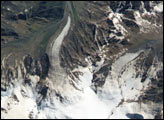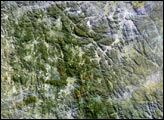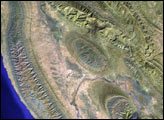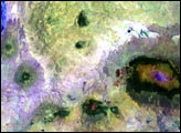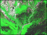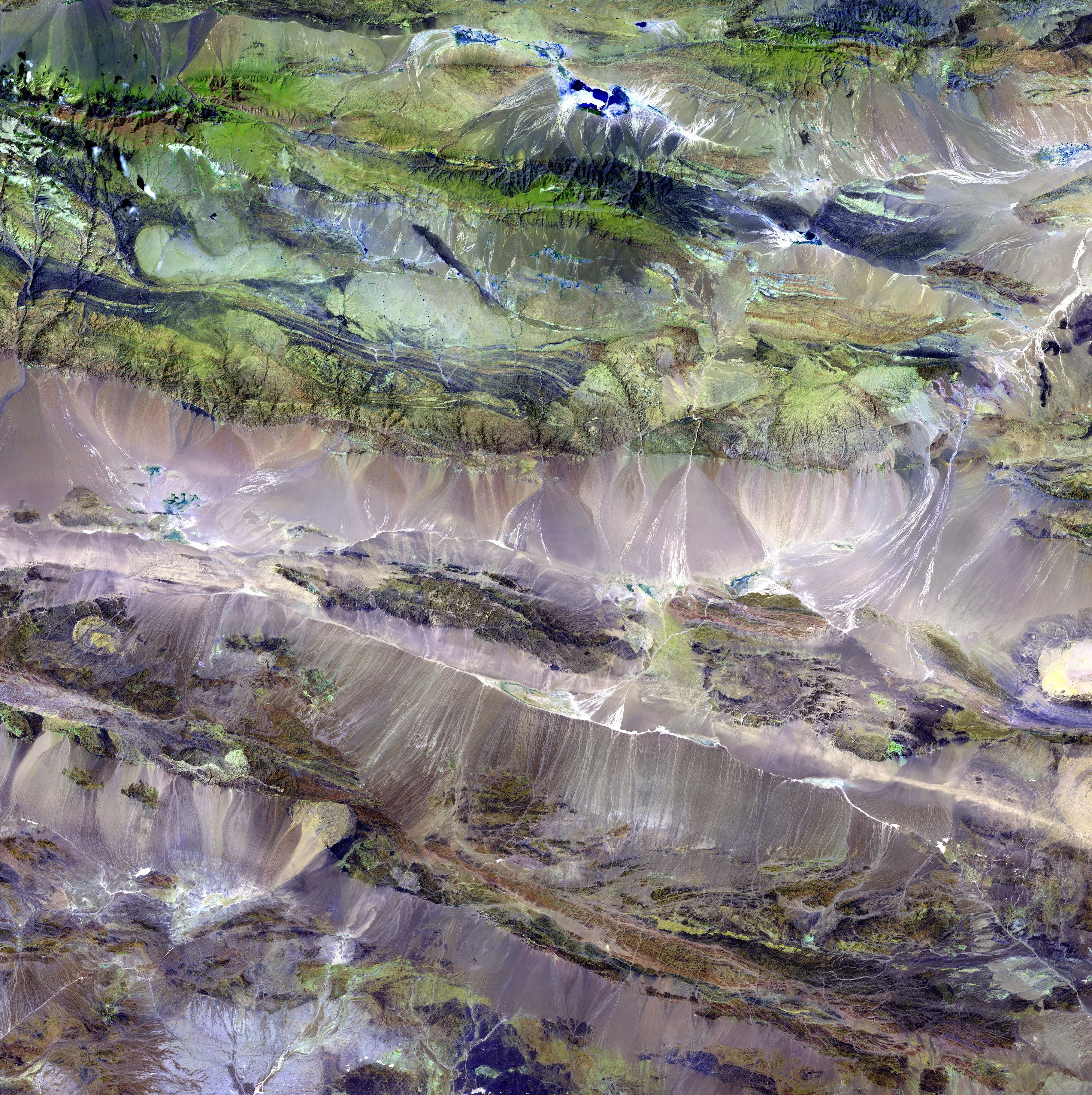
The Edrengiyn Nuruu forms a transition zone between the Mongolian steppes to the north and the arid deserts of northern China to the south.
This image was acquired by Landsat 7's Enhanced Thematic Mapper plus (ETM+) sensor on August 13, 1999. This is a false-color composite image made using shortwave infrared, infrared, and green wavelengths.
Image provided by the USGS EROS Data Center Satellite Systems Branch. This image is part of the ongoing Landsat Earth as Art series.