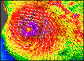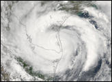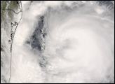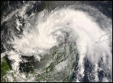

Tropical Storm Dolly was wrapped around the Yucatan Peninsula on July 21, 2008, when the Moderate Resolution Imaging Spectroradiometer (MODIS) on NASA’s Terra satellite captured this image. Only the northern half of the storm remained intact after its passage over the peninsula from the Caribbean Sea to the Gulf of Mexico. According to the 1:00 p.m. (Central Daylight Time) advisory from the National Hurricane Center on July 21, Dolly was moving west-northwest at about 10 miles per hour, and was predicted to reach hurricane strength by late Tuesday (July 22) or Wednesday (July 23).
The high-resolution image provided above is at MODIS’ full spatial resolution (level of detail) of 250 meters per pixel. The MODIS Rapid Response System provides this image at additional resolutions.
You can download a 250-meter-resolution KMZ file of the storm suitable for use with Google Earth.
NASA image by Jeff Schmaltz, MODIS Rapid Response Team, Goddard Space Flight Center. Caption by Rebecca Lindsey.
Tropical Storm Dolly formed in the Caribbean Sea between Honduras and Cuba on July 20, 2008. By July 23, it was a Category 1 hurricane in the Gulf of Mexico.


