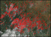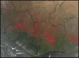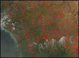

In the grasslands and savannas of West Africa, the agricultural burning season takes place in Northern Hemisphere winter. Fires are widespread at this time, as people burn crop stubble, brush, and old pasture grasses. This image shows hundreds of fires (red dots) detected by the Moderate Resolution Imaging Spectroradiometer (MODIS) on NASA’s Aqua satellite when it captured this image on January 10, 2008. Although it is not necessarily immediately hazardous, such large-scale burning can have a strong impact on weather, climate, human health, and natural resources.
The large image provided above has a spatial resolution (level of detail) of 1 kilometer per pixel. The MODIS Rapid Response Team provides twice-daily images of Africa in additional resolutions, including the sensor’s maximum resolution of 250 meters per pixel, via a clickable map.
NASA image courtesy the MODIS Rapid Response Team, Goddard Space Flight Center. Caption by Rebecca Lindsey.
In the grasslands and savannas of West Africa, widespread agricultural burning was underway in the early months of 2008.


